Static Map Catalogue - Full Metadata Record
Collection GEOSAT
GEOSAT ESA archive. More details here.
DE2_OPER_HRA_PSH_1C_20200414T095304_N44-878_E008-413_0000
Download Product | Browse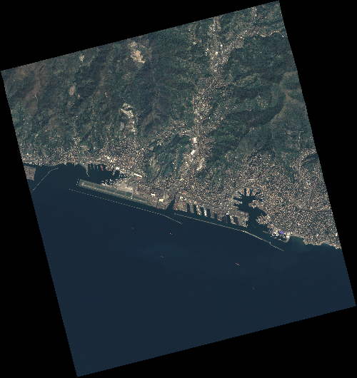
Start Date | 2020-04-14T09:53:04Z |
Stop Date | 2020-04-14T09:53:07Z |
Availability Time | 2020-04-14T09:53:07Z |
Instrument Short Name | HiRAIS |
Sensor Type | OPTICAL |
Operational mode | PSH |
Resolution | 0.75 |
Orbit | 31539 |
Satellite | GEOSAT-2 |
Product type | HRA_PSH_1C |
Orbit Direction | ASCENDING |
Scene Centre Longitude | E008 |
Scene Centre Latitude | N44 |
Illumination Azimuth Angle | 143.377061825 |
Illumination Elevation Angle | 49.9843 |
Footprint | 44.461582 8.777417 44.490669 8.935704 44.366117 8.979516 44.337031 8.821229 44.461582 8.777417 |
Product Size | 2099275459 |
Cloud Cover Percentage | 0 |
Acquisition Type | NOMINAL |
Bounding Box | 44.490669 8.777417 44.337031 8.777417 44.337031 8.979516 44.490669 8.979516 |
Original name | DE2_PSH_L1C_000000_20200414T095304_20200414T095307_DE2_31539_5D94 |