Static Map Catalogue - Full Metadata Record
Collection GEOSAT
GEOSAT ESA archive. More details here.
DE2_OPER_HRA_PSH_1C_20200408T095651_N50-344_E008-037_0000
Download Product | Browse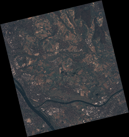
Start Date | 2020-04-08T09:56:51Z |
Stop Date | 2020-04-08T09:56:54Z |
Availability Time | 2020-04-08T09:56:54Z |
Instrument Short Name | HiRAIS |
Sensor Type | OPTICAL |
Operational mode | PSH |
Resolution | 0.75 |
Orbit | 31450 |
Satellite | GEOSAT-2 |
Product type | HRA_PSH_1C |
Orbit Direction | ASCENDING |
Scene Centre Longitude | E008 |
Scene Centre Latitude | N50 |
Illumination Azimuth Angle | 148.006513821 |
Illumination Elevation Angle | 43.3205 |
Footprint | 50.085559 8.234029 50.113122 8.406828 49.989726 8.454490 49.962163 8.281691 50.085559 8.234029 |
Product Size | 2185518804 |
Cloud Cover Percentage | 0 |
Acquisition Type | NOMINAL |
Bounding Box | 50.113122 8.234029 49.962163 8.234029 49.962163 8.45449 50.113122 8.45449 |
Original name | DE2_PSH_L1C_000000_20200408T095651_20200408T095654_DE2_31450_7BA0 |