Static Map Catalogue - Full Metadata Record
Collection GEOSAT
GEOSAT ESA archive. More details here.
DE2_OPER_HRA_PSH_1C_20200408T095649_N49-387_E008-925_0000
Download Product | Browse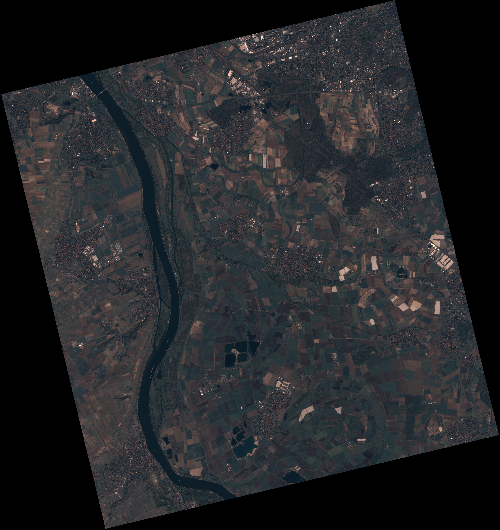
Start Date | 2020-04-08T09:56:49Z |
Stop Date | 2020-04-08T09:56:52Z |
Availability Time | 2020-04-08T09:56:52Z |
Instrument Short Name | HiRAIS |
Sensor Type | OPTICAL |
Operational mode | PSH |
Resolution | 0.75 |
Orbit | 31450 |
Satellite | GEOSAT-2 |
Product type | HRA_PSH_1C |
Orbit Direction | ASCENDING |
Scene Centre Longitude | E008 |
Scene Centre Latitude | N49 |
Illumination Azimuth Angle | 147.99585799 |
Illumination Elevation Angle | 43.4272 |
Footprint | 49.973570 8.277412 50.001145 8.449960 49.877904 8.497309 49.850329 8.324762 49.973570 8.277412 |
Product Size | 2150521613 |
Cloud Cover Percentage | 0 |
Acquisition Type | NOMINAL |
Bounding Box | 50.001145 8.277412 49.850329 8.277412 49.850329 8.497309 50.001145 8.497309 |
Original name | DE2_PSH_L1C_000000_20200408T095649_20200408T095652_DE2_31450_1C7D |