Static Map Catalogue - Full Metadata Record
Collection GEOSAT
GEOSAT ESA archive. More details here.
DE2_OPER_HRA_PM4_1C_20200404T103022_N48-364_E002-959_0000
Download Product | Browse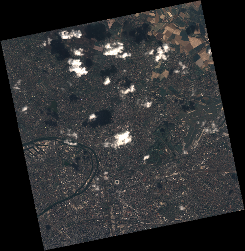
Start Date | 2020-04-04T10:30:22Z |
Stop Date | 2020-04-04T10:30:25Z |
Availability Time | 2020-04-04T10:30:25Z |
Instrument Short Name | HiRAIS |
Sensor Type | OPTICAL |
Operational mode | PM4 |
Resolution | 3.0 |
Orbit | 31391 |
Satellite | GEOSAT-2 |
Product type | HRA_PM4_1C |
Orbit Direction | ASCENDING |
Scene Centre Longitude | E002 |
Scene Centre Latitude | N48 |
Illumination Azimuth Angle | 150.907800298 |
Illumination Elevation Angle | 43.5346 |
Footprint | 49.011930 2.248311 49.038356 2.437990 48.907760 2.481236 48.881334 2.291558 49.011930 2.248311 |
Product Size | 797201072 |
Cloud Cover Percentage | 0 |
Acquisition Type | NOMINAL |
Bounding Box | 49.038356 2.248311 48.881334 2.248311 48.881334 2.481236 49.038356 2.481236 |
Original name | DE2_PM4_L1C_000000_20200404T103022_20200404T103025_DE2_31391_7681 |