Static Map Catalogue - Full Metadata Record
Collection GEOSAT
GEOSAT ESA archive. More details here.
DE2_OPER_HRA_PSH_1C_20200328T101745_N51-065_E000-545_0000
Download Product | Browse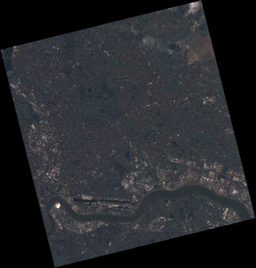
Start Date | 2020-03-28T10:17:45Z |
Stop Date | 2020-03-28T10:17:47Z |
Availability Time | 2020-03-28T10:17:47Z |
Instrument Short Name | HiRAIS |
Sensor Type | OPTICAL |
Operational mode | PSH |
Resolution | 0.75 |
Orbit | 31287 |
Satellite | GEOSAT-2 |
Product type | HRA_PSH_1C |
Orbit Direction | ASCENDING |
Scene Centre Longitude | E000 |
Scene Centre Latitude | N51 |
Illumination Azimuth Angle | 145.890425054 |
Illumination Elevation Angle | 36.7857 |
Footprint | 51.590795 -0.054918 51.623753 0.127628 51.500252 0.185490 51.467294 0.002944 51.590795 -0.054918 |
Product Size | 2239245173 |
Cloud Cover Percentage | 0 |
Acquisition Type | NOMINAL |
Bounding Box | 51.623753 -0.054918 51.467294 -0.054918 51.467294 0.18549 51.623753 0.18549 |
Original name | DE2_PSH_L1C_000000_20200328T101745_20200328T101747_DE2_31287_8F78 |