Static Map Catalogue - Full Metadata Record
Collection GEOSAT
GEOSAT ESA archive. More details here.
DE2_OPER_HRA_PSH_1C_20200328T101743_N51-117_E000-433_0000
Download Product | Browse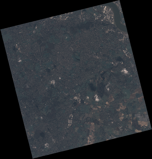
Start Date | 2020-03-28T10:17:43Z |
Stop Date | 2020-03-28T10:17:45Z |
Availability Time | 2020-03-28T10:17:45Z |
Instrument Short Name | HiRAIS |
Sensor Type | OPTICAL |
Operational mode | PSH |
Resolution | 0.75 |
Orbit | 31287 |
Satellite | GEOSAT-2 |
Product type | HRA_PSH_1C |
Orbit Direction | ASCENDING |
Scene Centre Longitude | E000 |
Scene Centre Latitude | N51 |
Illumination Azimuth Angle | 145.895310024 |
Illumination Elevation Angle | 36.894 |
Footprint | 51.478842 -0.002037 51.511707 0.179934 51.388101 0.237564 51.355236 0.055593 51.478842 -0.002037 |
Product Size | 2240396870 |
Cloud Cover Percentage | 0 |
Acquisition Type | NOMINAL |
Bounding Box | 51.511707 -0.002037 51.355236 -0.002037 51.355236 0.237564 51.511707 0.237564 |
Original name | DE2_PSH_L1C_000000_20200328T101743_20200328T101745_DE2_31287_9461 |