Static Map Catalogue - Full Metadata Record
Collection GEOSAT
GEOSAT ESA archive. More details here.
DE2_OPER_HRA_PSH_1C_20170517T105958_N53-254_W009-113_0001
Download Product | Browse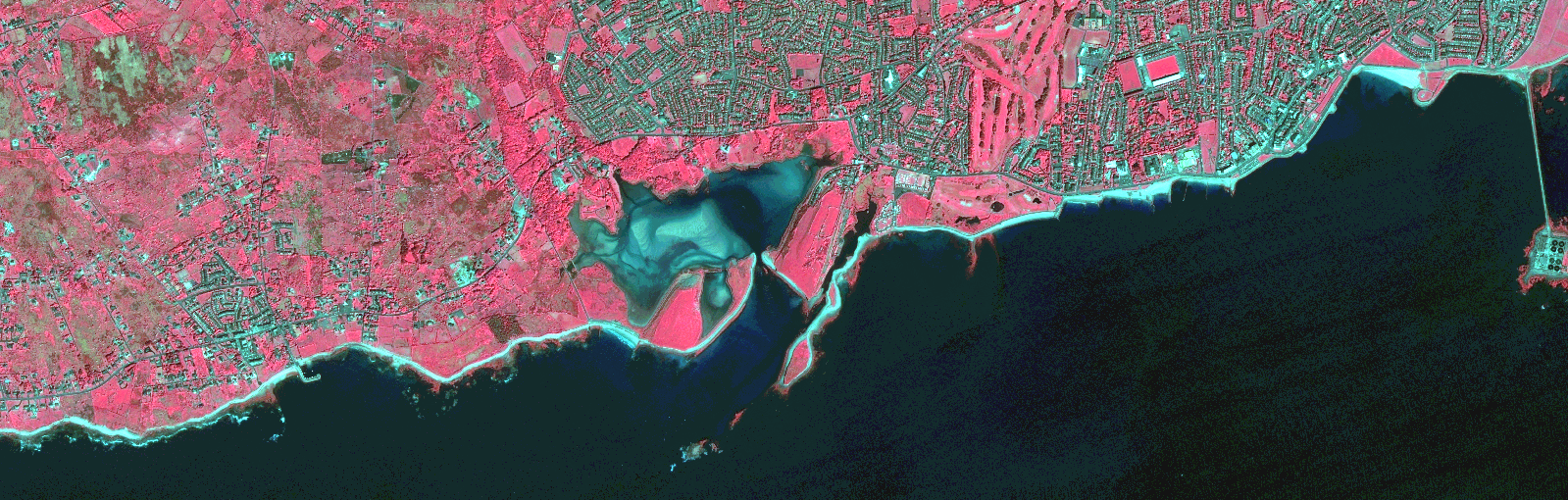
Start Date | 2017-05-17T10:59:58Z |
Stop Date | 2017-05-17T11:00:01Z |
Availability Time | 2017-05-17T11:00:01Z |
Instrument Short Name | HiRAIS |
Sensor Type | OPTICAL |
Operational mode | PSH |
Resolution | 0.80731433171 |
Orbit | 15767 |
Satellite | GEOSAT-2 |
Product type | HRA_PSH_1C |
Orbit Direction | ASCENDING |
Scene Centre Longitude | |
Scene Centre Latitude | |
Illumination Azimuth Angle | 143.10701134 |
Illumination Elevation Angle | 51.6831 |
Footprint | 53.243319 -9.0531994 53.266376 -9.053228 53.266262 -9.1734473 53.243205 -9.173354 53.243319 -9.0531994 |
Product Size | 209956721 |
Cloud Cover Percentage | 0 |
Acquisition Type | NOMINAL |
Bounding Box | 53.266376 -9.1734473 53.243205 -9.1734473 53.243205 -9.0531994 53.266376 -9.0531994 53.266376 -9.1734473 |
Original name | DE2_PSH_L1C_000000_20170517T105958_20170517T110001_DE2_15767_A792.zip |