Static Map Catalogue - Full Metadata Record
Collection GEOSAT
GEOSAT ESA archive. More details here.
DE2_OPER_HRA_PSH_1C_20161024T110035_N53-254_W009-102_0001
Download Product | Browse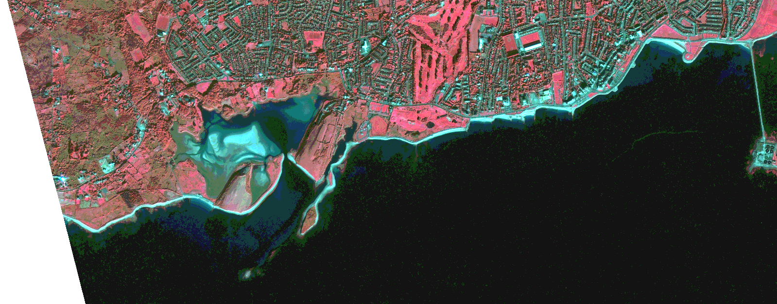
Start Date | 2016-10-24T11:00:35Z |
Stop Date | 2016-10-24T11:00:38Z |
Availability Time | 2016-10-24T11:00:38Z |
Instrument Short Name | HiRAIS |
Sensor Type | OPTICAL |
Operational mode | PSH |
Resolution | 0.824263535703 |
Orbit | 12725 |
Satellite | GEOSAT-2 |
Product type | HRA_PSH_1C |
Orbit Direction | ASCENDING |
Scene Centre Longitude | |
Scene Centre Latitude | |
Illumination Azimuth Angle | 158.845551286 |
Illumination Elevation Angle | 22.5924 |
Footprint | 53.243325 -9.0530398 53.266232 -9.0530682 53.266148 -9.1514405 53.243241 -9.1513596 53.243325 -9.0530398 |
Product Size | 139291838 |
Cloud Cover Percentage | 0 |
Acquisition Type | NOMINAL |
Bounding Box | 53.266232 -9.1514405 53.243241 -9.1514405 53.243241 -9.0530398 53.266232 -9.0530398 53.266232 -9.1514405 |
Original name | DE2_PSH_L1C_000000_20161024T110035_20161024T110038_DE2_12725_E3B4.zip |