Static Map Catalogue - Full Metadata Record
Collection GEOSAT
GEOSAT ESA archive. More details here.
DE2_OPER_HRA_PM4_1C_20191207T142412_S23-665_W046-548_0000
Download Product | Browse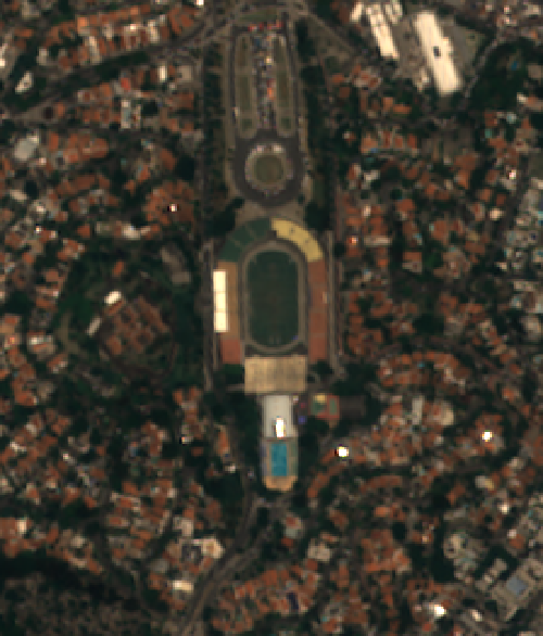
Start Date | 2019-12-07T14:24:12Z |
Stop Date | 2019-12-07T14:24:15Z |
Availability Time | 2019-12-07T14:24:15Z |
Instrument Short Name | HiRAIS |
Sensor Type | OPTICAL |
Operational mode | PM4 |
Resolution | 3.0 |
Orbit | 29627 |
Satellite | GEOSAT-2 |
Product type | HRA_PM4_1C |
Orbit Direction | ASCENDING |
Scene Centre Longitude | W046 |
Scene Centre Latitude | S23 |
Illumination Azimuth Angle | 84.7231775902 |
Illumination Elevation Angle | 82.18199 |
Footprint | -23.544396 -46.669278 -23.544483 -46.661177 -23.553252 -46.661287 -23.553165 -46.669389 -23.544396 -46.669278 |
Product Size | 3823177 |
Cloud Cover Percentage | 0 |
Acquisition Type | NOMINAL |
Bounding Box | -23.544396 -46.669389 -23.553252 -46.669389 -23.553252 -46.661177 -23.544396 -46.661177 |
Original name | DE2_PM4_L1C_000000_20191207T142412_20191207T142415_DE2_29627_6ADB |