Static Map Catalogue - Full Metadata Record
Collection Cartosat
European Cities: Cartosat-1 Euro-Maps 3D. More details here.
CA1_OPER_PAN_PAM_3O_20100710T083902_N47-853_E035-075_01
Download Product | Browse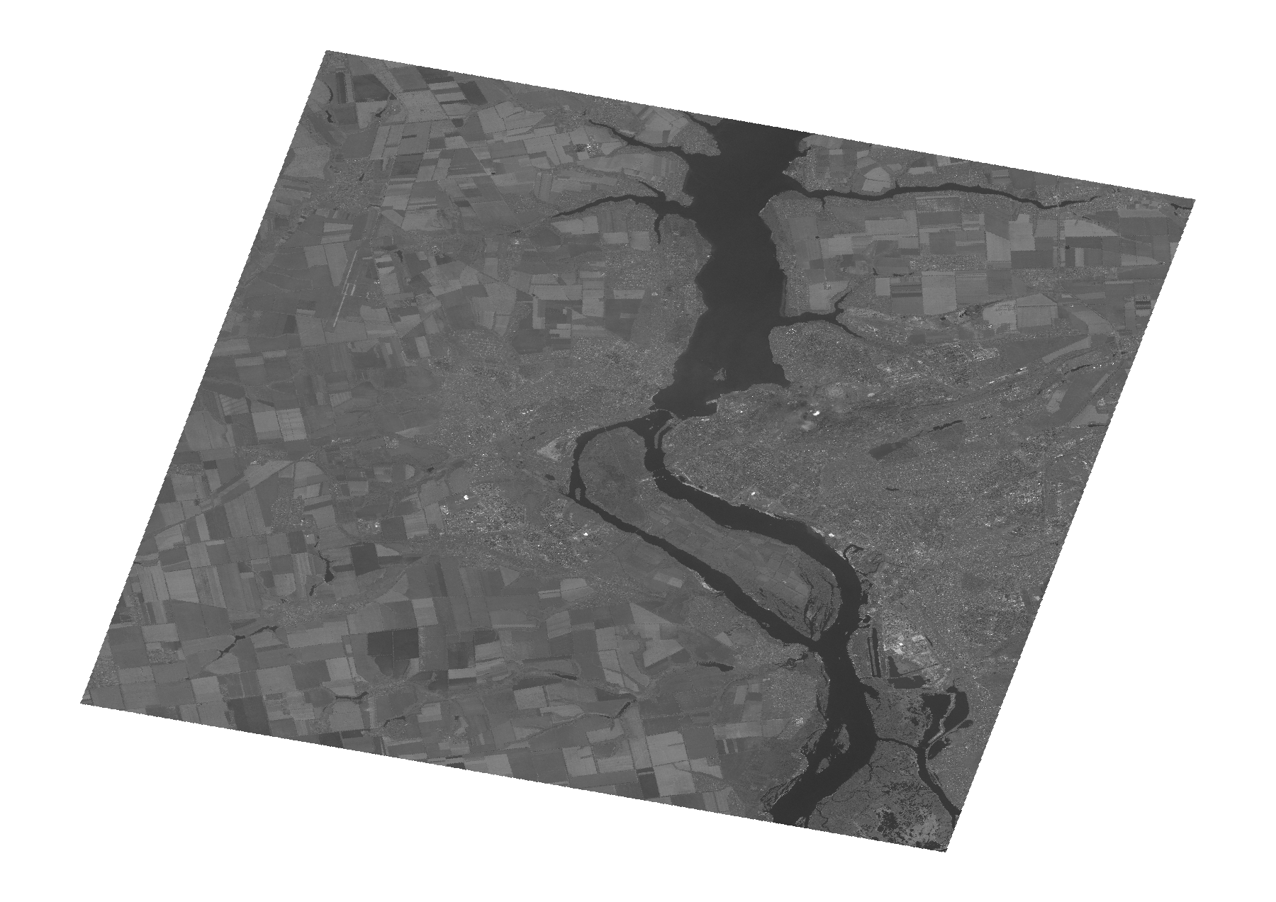
Start Date | 2010-07-10T08:39:02Z |
Stop Date | 2010-07-10T08:39:06Z |
Availability Time | 2010-07-10T08:39:06Z |
Platform Short Name | Cartosat |
Serial Identifier | 1 |
Instrument Short Name | PAN |
Operational Mode | PAM |
Resolution | 2.5 |
Orbit Number | 28038 |
Orbit Direction | DESCENDING |
Path | E035 |
Row | N47 |
Illumination Azimuth Angle | 147.01457160 |
Illumination Elevation Angle | 61.18707190 |
Footprint | 48.0361972 34.8162950 47.6696378 34.8162950 47.6696378 35.3346038 48.0361972 35.3346038 48.0361972 34.8162950 |
Scene Centre | 47.8532090941 35.0754494 |
Size | 100458497 |
Id | CA1_OPER_PAN_PAM_3O_20100710T083902_N47-853_E035-075_01 |
Acquisition Type | NOMINAL |
Product Type | PAN_PAM_3O |
Status | ARCHIVED |
Bounding Box | 48.0361972 34.816295 47.6696378 34.816295 47.6696378 35.3346038 48.0361972 35.3346038 |
Site | Zaporizzja |