Static Map Catalogue - Full Metadata Record
Collection Cartosat
European Cities: Cartosat-1 Euro-Maps 3D. More details here.
CA1_OPER_DSM_DEM_3D_20100710T083902_N47-000_E035-000_4A
Download Product | Browse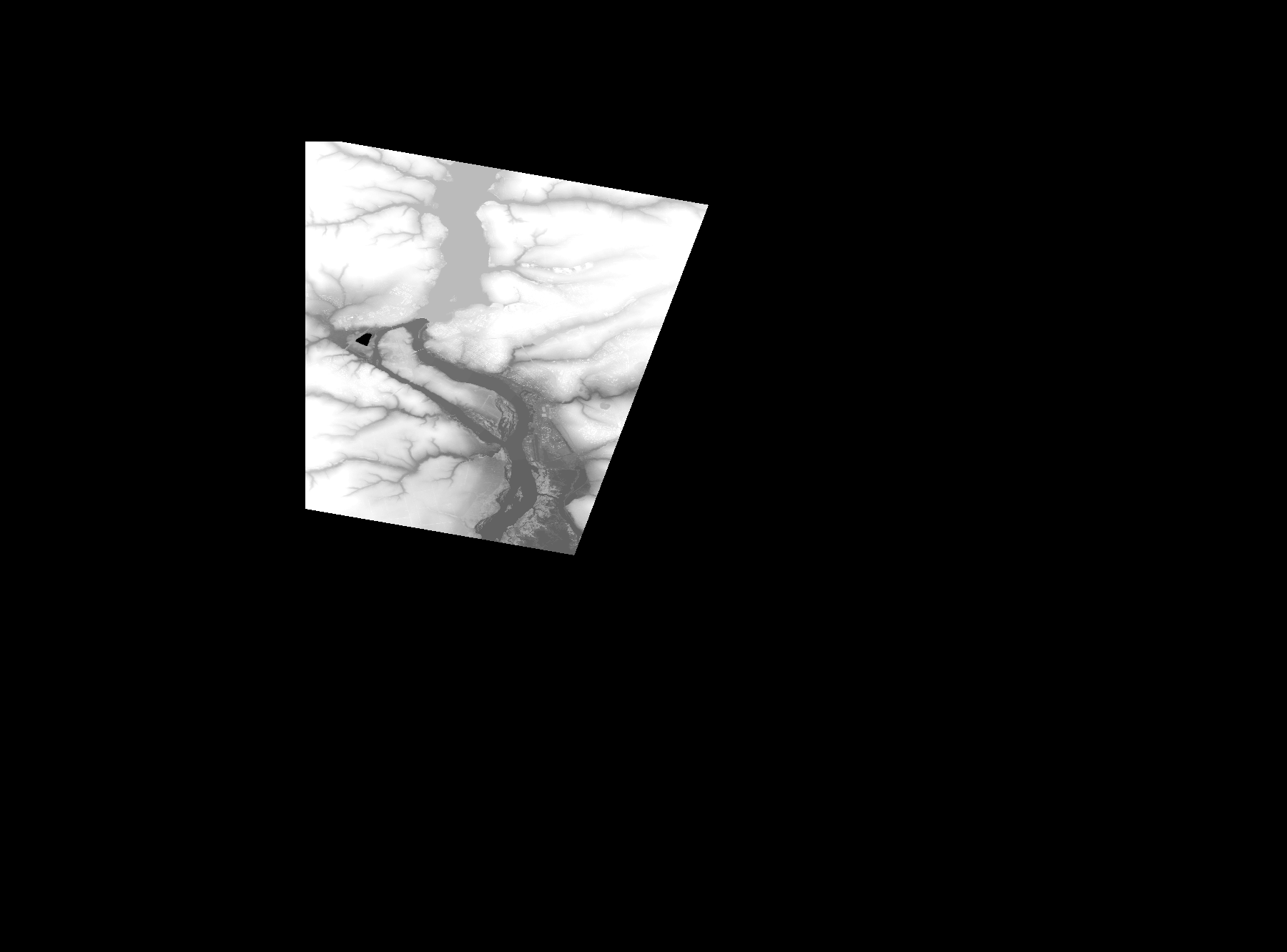
Start Date | 2010-07-10T08:39:02Z |
Stop Date | 2010-07-10T08:39:02Z |
Availability Time | 2010-07-10T08:39:02Z |
Platform Short Name | Cartosat |
Serial Identifier | 1 |
Instrument Short Name | DSM |
Operational Mode | DEFAULT |
Resolution | |
Orbit Number | 0 |
Orbit Direction | |
Path | |
Row | |
Illumination Azimuth Angle | |
Illumination Elevation Angle | |
Footprint | 47.9554804147 35.3009592789 47.9554323588 35.3011995584 47.9553843029 35.3015840055 47.955336247 35.3017762291 47.9552881911 35.3019684527 47.9552401352 35.3020165086 47.9551920793 35.3021126204 47.6900196597 35.2006185736 47.689923548 35.2005705177 47.6897793803 35.2005705177 47.724619903 34.9973421446 47.9993554453 34.9966693621 48.0031999168 34.9966213062 47.9554804147 35.3009592789 |
Scene Centre | |
Size | 36897566 |
Id | CA1_OPER_DSM_DEM_3D_20100710T083902_N47-000_E035-000_4A |
Acquisition Type | NOMINAL |
Product Type | DSM_DEM_3D |
Status | ARCHIVED |
Bounding Box | 48.1107490 34.7649919 47.3886612 34.7649919 47.3886612 35.7408149 48.1107490 35.7408149 48.1107490 34.7649919 |
Site | Zaporizzja |