Static Map Catalogue - Full Metadata Record
Collection Cartosat
European Cities: Cartosat-1 Euro-Maps 3D. More details here.
CA1_OPER_DSM_DEM_3D_20100710T083902_N47-000_E034-000_4B
Download Product | Browse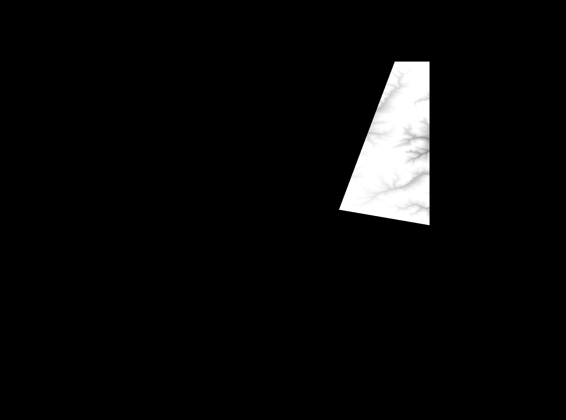
Start Date | 2010-07-10T08:39:02Z |
Stop Date | 2010-07-10T08:39:02Z |
Availability Time | 2010-07-10T08:39:02Z |
Platform Short Name | Cartosat |
Serial Identifier | 1 |
Instrument Short Name | DSM |
Operational Mode | DEFAULT |
Resolution | |
Orbit Number | 0 |
Orbit Direction | |
Path | |
Row | |
Illumination Azimuth Angle | |
Illumination Elevation Angle | |
Footprint | 48.0034230364 35.0028450569 48.0034230364 35.0028450569 48.0033748886 35.0029895003 47.7500212341 34.8494462079 47.7500693819 34.8492536168 47.7500212341 34.8491573212 47.7500693819 34.8490610256 47.7501175296 34.8488684345 47.7501656774 34.8488202867 47.8641796367 34.8914310781 48.0017860116 34.9432862445 48.0025082284 34.943623279 48.0029897063 34.9437677224 48.0030378541 34.9438158702 48.0034230364 35.0028450569 |
Scene Centre | |
Size | 39585270 |
Id | CA1_OPER_DSM_DEM_3D_20100710T083902_N47-000_E034-000_4B |
Acquisition Type | NOMINAL |
Product Type | DSM_DEM_3D |
Status | ARCHIVED |
Bounding Box | 48.1089630 34.2691209 47.3904536 34.2691209 47.3904536 35.2366989 48.1089630 35.2366989 48.1089630 34.2691209 |
Site | Zaporizzja |