Static Map Catalogue - Full Metadata Record
Collection Cartosat
European Cities: Cartosat-1 Euro-Maps 3D. More details here.
CA1_OPER_PAN_PAM_3O_20100530T092632_N54-661_E025-476_01
Download Product | Browse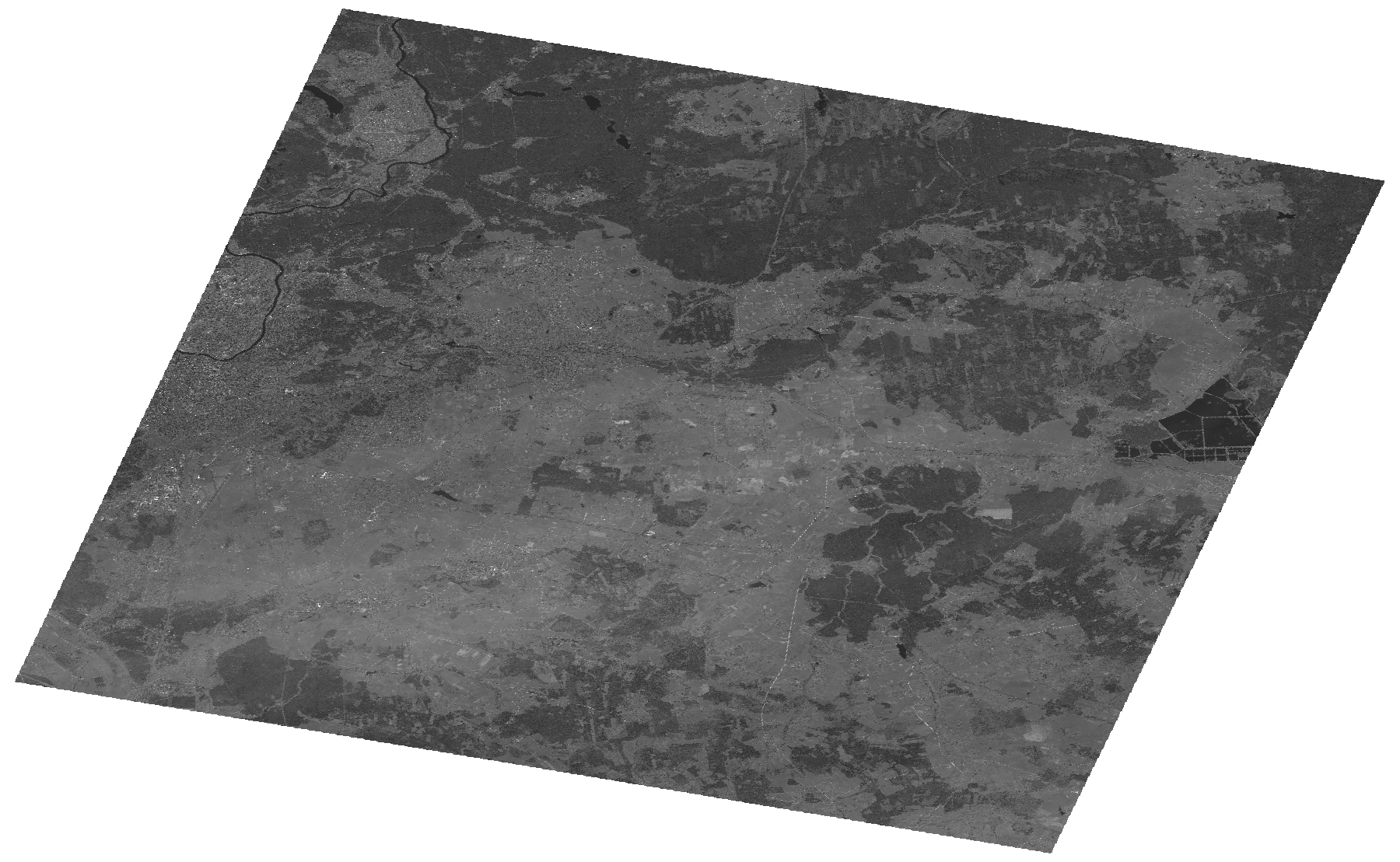
Start Date | 2010-05-30T09:26:32Z |
Stop Date | 2010-05-30T09:26:36Z |
Availability Time | 2010-05-30T09:26:36Z |
Platform Short Name | Cartosat |
Serial Identifier | 1 |
Instrument Short Name | PAN |
Operational Mode | PAM |
Resolution | 2.5 |
Orbit Number | 27431 |
Orbit Direction | DESCENDING |
Path | E025 |
Row | N54 |
Illumination Azimuth Angle | 159.47994645 |
Illumination Elevation Angle | 55.85024246 |
Footprint | 54.8298524 25.2030159 54.4927246 25.2030159 54.4927246 25.7502027 54.8298524 25.7502027 54.8298524 25.2030159 |
Scene Centre | 54.6615967122 25.4766093 |
Size | 113983289 |
Id | CA1_OPER_PAN_PAM_3O_20100530T092632_N54-661_E025-476_01 |
Acquisition Type | NOMINAL |
Product Type | PAN_PAM_3O |
Status | ARCHIVED |
Bounding Box | 54.8298524 25.2030159 54.4927246 25.2030159 54.4927246 25.7502027 54.8298524 25.7502027 |
Site | Vilnius |