Static Map Catalogue - Full Metadata Record
Collection Cartosat
European Cities: Cartosat-1 Euro-Maps 3D. More details here.
CA1_OPER_PAN_PAM_3O_20080526T092602_N54-712_E025-108_01
Download Product | Browse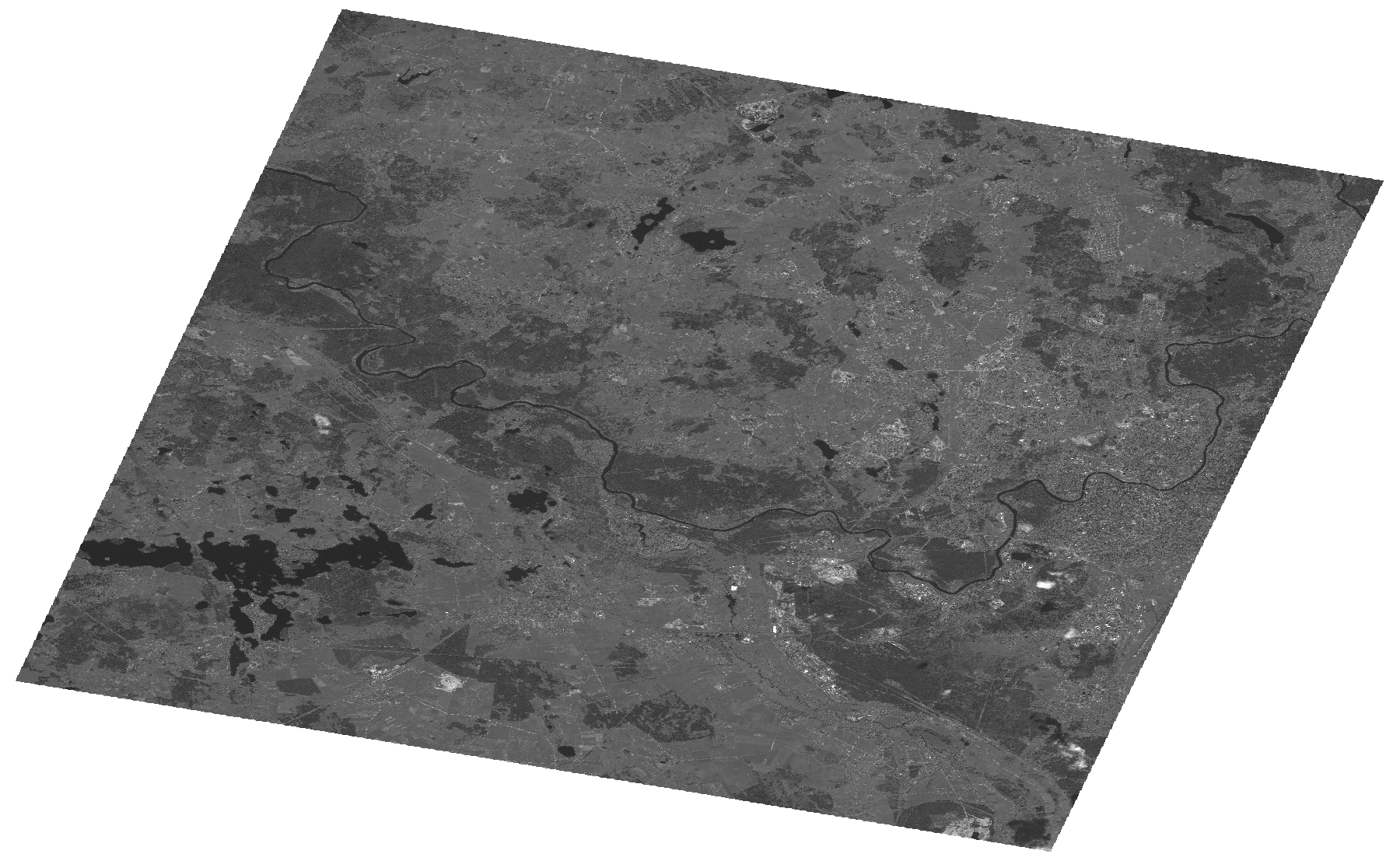
Start Date | 2008-05-26T09:26:02Z |
Stop Date | 2008-05-26T09:26:06Z |
Availability Time | 2008-05-26T09:26:06Z |
Platform Short Name | Cartosat |
Serial Identifier | 1 |
Instrument Short Name | PAN |
Operational Mode | PAM |
Resolution | 2.5 |
Orbit Number | 16555 |
Orbit Direction | DESCENDING |
Path | E025 |
Row | N54 |
Illumination Azimuth Angle | 159.10990952 |
Illumination Elevation Angle | 55.17698728 |
Footprint | 54.8809609 24.8340334 54.5435230 24.8340334 54.5435230 25.3827129 54.8809609 25.3827129 54.8809609 24.8340334 |
Scene Centre | 54.7125516524 25.10837315 |
Size | 115559582 |
Id | CA1_OPER_PAN_PAM_3O_20080526T092602_N54-712_E025-108_01 |
Acquisition Type | NOMINAL |
Product Type | PAN_PAM_3O |
Status | ARCHIVED |
Bounding Box | 54.8809609 24.8340334 54.543523 24.8340334 54.543523 25.3827129 54.8809609 25.3827129 |
Site | Vilnius |