Static Map Catalogue - Full Metadata Record
Collection Cartosat
European Cities: Cartosat-1 Euro-Maps 3D. More details here.
CA1_OPER_DSM_DEM_3D_20100530T092632_N54-000_E025-000_4A
Download Product | Browse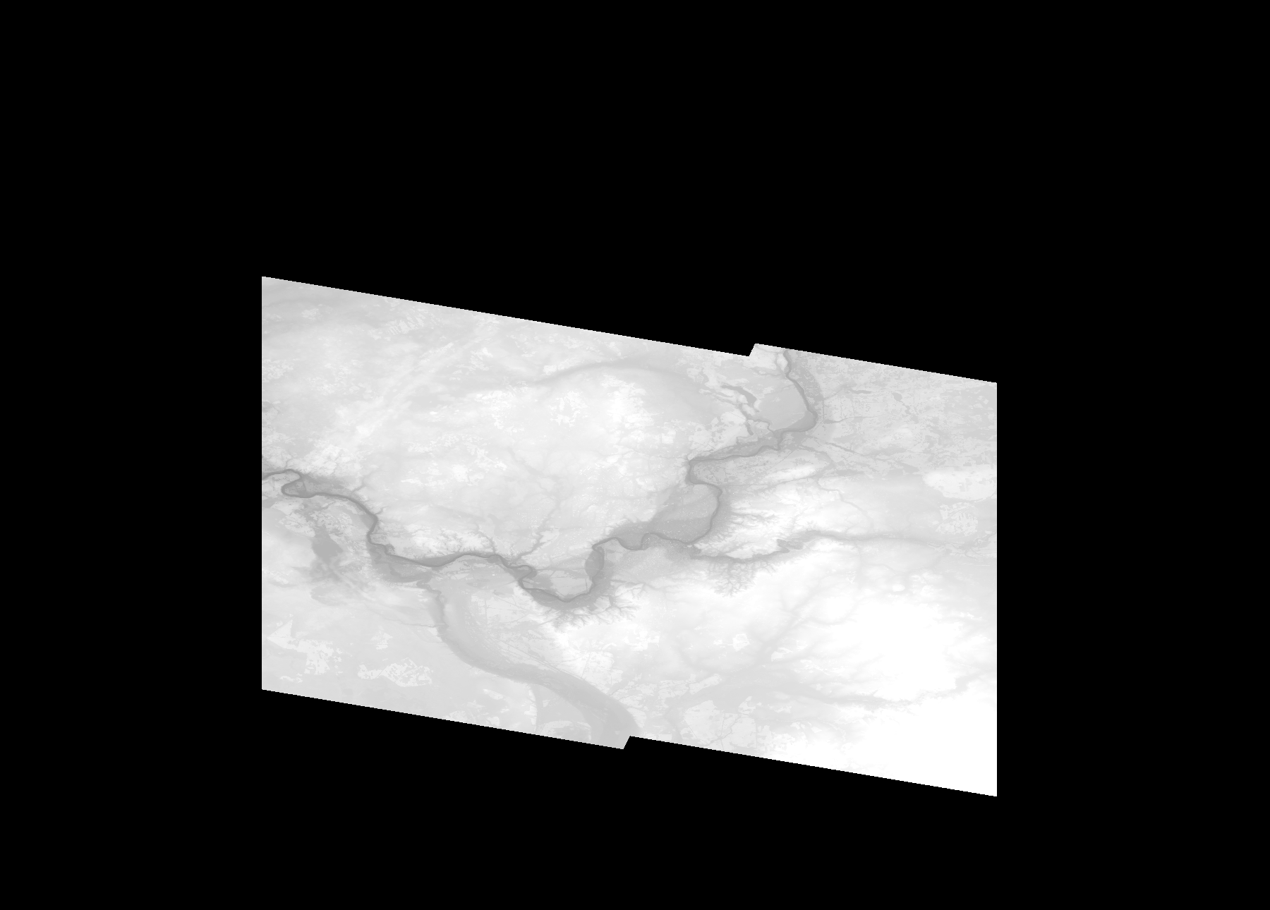
Start Date | 2010-05-30T09:26:32Z |
Stop Date | 2010-05-30T09:26:32Z |
Availability Time | 2010-05-30T09:26:32Z |
Platform Short Name | Cartosat |
Serial Identifier | 1 |
Instrument Short Name | DSM |
Operational Mode | DEFAULT |
Resolution | |
Orbit Number | 0 |
Orbit Direction | |
Path | |
Row | |
Illumination Azimuth Angle | |
Illumination Elevation Angle | |
Footprint | 54.8262106078 25.3363984348 54.8263128972 25.3364495795 54.8265686208 25.336551869 54.7995642128 25.5020050127 54.7995130681 25.5024141704 54.7994619234 25.5028233281 54.520569808 25.5032836306 54.5163759416 25.5032324858 54.5474719266 25.2461280179 54.5473696372 25.2460768732 54.5470627689 25.2459745837 54.5881319728 24.9973089933 54.5881831175 24.9972067039 54.5882342622 24.9967975462 54.5891037223 24.996644112 54.8262106078 25.3363984348 |
Scene Centre | |
Size | 54106644 |
Id | CA1_OPER_DSM_DEM_3D_20100530T092632_N54-000_E025-000_4A |
Acquisition Type | NOMINAL |
Product Type | DSM_DEM_3D |
Status | ARCHIVED |
Bounding Box | 55.0631641 24.8165124 54.4363345 24.8165124 54.4363345 25.6912404 55.0631641 25.6912404 55.0631641 24.8165124 |
Site | Vilnius |