Static Map Catalogue - Full Metadata Record
Collection Cartosat
European Cities: Cartosat-1 Euro-Maps 3D. More details here.
CA1_OPER_DSM_DEM_3D_20130508T090557_N46-000_E029-000_4B
Download Product | Browse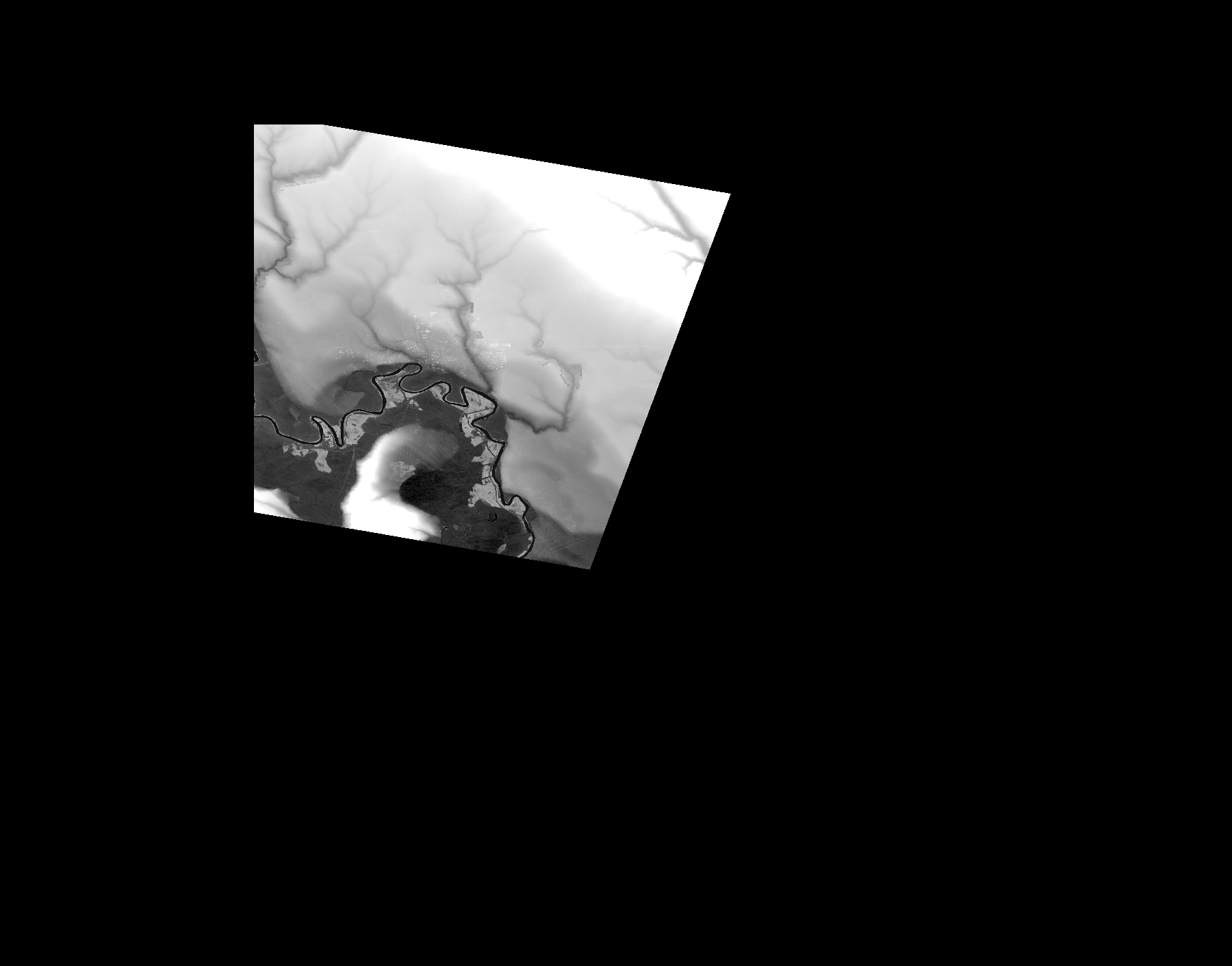
Start Date | 2013-05-08T09:05:57Z |
Stop Date | 2013-05-08T09:05:57Z |
Availability Time | 2013-05-08T09:05:57Z |
Platform Short Name | Cartosat |
Serial Identifier | 1 |
Instrument Short Name | DSM |
Operational Mode | DEFAULT |
Resolution | |
Orbit Number | 0 |
Orbit Direction | |
Path | |
Row | |
Illumination Azimuth Angle | |
Illumination Elevation Angle | |
Footprint | 46.9546470545 29.8330117954 46.9545980714 29.833256711 46.9545490883 29.8335506097 46.9545001052 29.8337955252 46.9544511221 29.8338445083 46.6914118206 29.7355354063 46.6888157157 29.7346047272 46.7289328829 29.4973795247 46.728981866 29.4971346092 46.9716441937 29.496595795 47.0030423673 29.4966937612 46.9546470545 29.8330117954 |
Scene Centre | |
Size | 45055480 |
Id | CA1_OPER_DSM_DEM_3D_20130508T090557_N46-000_E029-000_4B |
Acquisition Type | NOMINAL |
Product Type | DSM_DEM_3D |
Status | ARCHIVED |
Bounding Box | 47.0915548 29.3171217 46.4078976 29.3171217 46.4078976 30.1886292 47.0915548 30.1886292 47.0915548 29.3171217 |
Site | Tiraspol |