Static Map Catalogue - Full Metadata Record
Collection Cartosat
European Cities: Cartosat-1 Euro-Maps 3D. More details here.
CA1_OPER_PAN_PAM_3O_20090608T093104_N41-297_E019-851_01
Download Product | Browse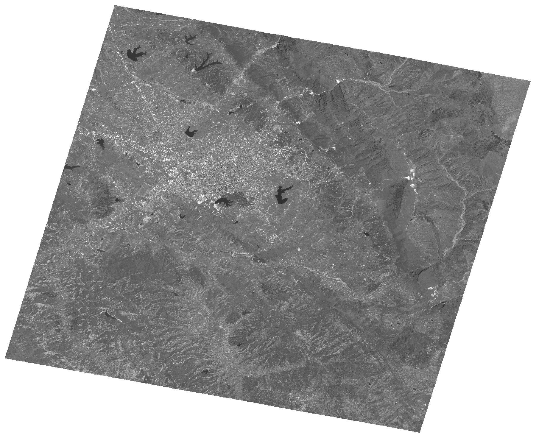
Start Date | 2009-06-08T09:31:04Z |
Stop Date | 2009-06-08T09:31:08Z |
Availability Time | 2009-06-08T09:31:08Z |
Platform Short Name | Cartosat |
Serial Identifier | 1 |
Instrument Short Name | PAN |
Operational Mode | PAM |
Resolution | 2.5 |
Orbit Number | 22156 |
Orbit Direction | DESCENDING |
Path | E019 |
Row | N41 |
Illumination Azimuth Angle | 136.84569446 |
Illumination Elevation Angle | 66.64890206 |
Footprint | 41.4627376 19.6489579 41.1310106 19.6489579 41.1310106 20.0548781 41.4627376 20.0548781 41.4627376 19.6489579 |
Scene Centre | 41.2970523384 19.851918 |
Size | 123137169 |
Id | CA1_OPER_PAN_PAM_3O_20090608T093104_N41-297_E019-851_01 |
Acquisition Type | NOMINAL |
Product Type | PAN_PAM_3O |
Status | ARCHIVED |
Bounding Box | 41.4627376 19.6489579 41.1310106 19.6489579 41.1310106 20.0548781 41.4627376 20.0548781 |
Site | Tirana |