Static Map Catalogue - Full Metadata Record
Collection Cartosat
European Cities: Cartosat-1 Euro-Maps 3D. More details here.
CA1_OPER_PAN_PAM_3O_20090727T092508_N41-964_E021-405_01
Download Product | Browse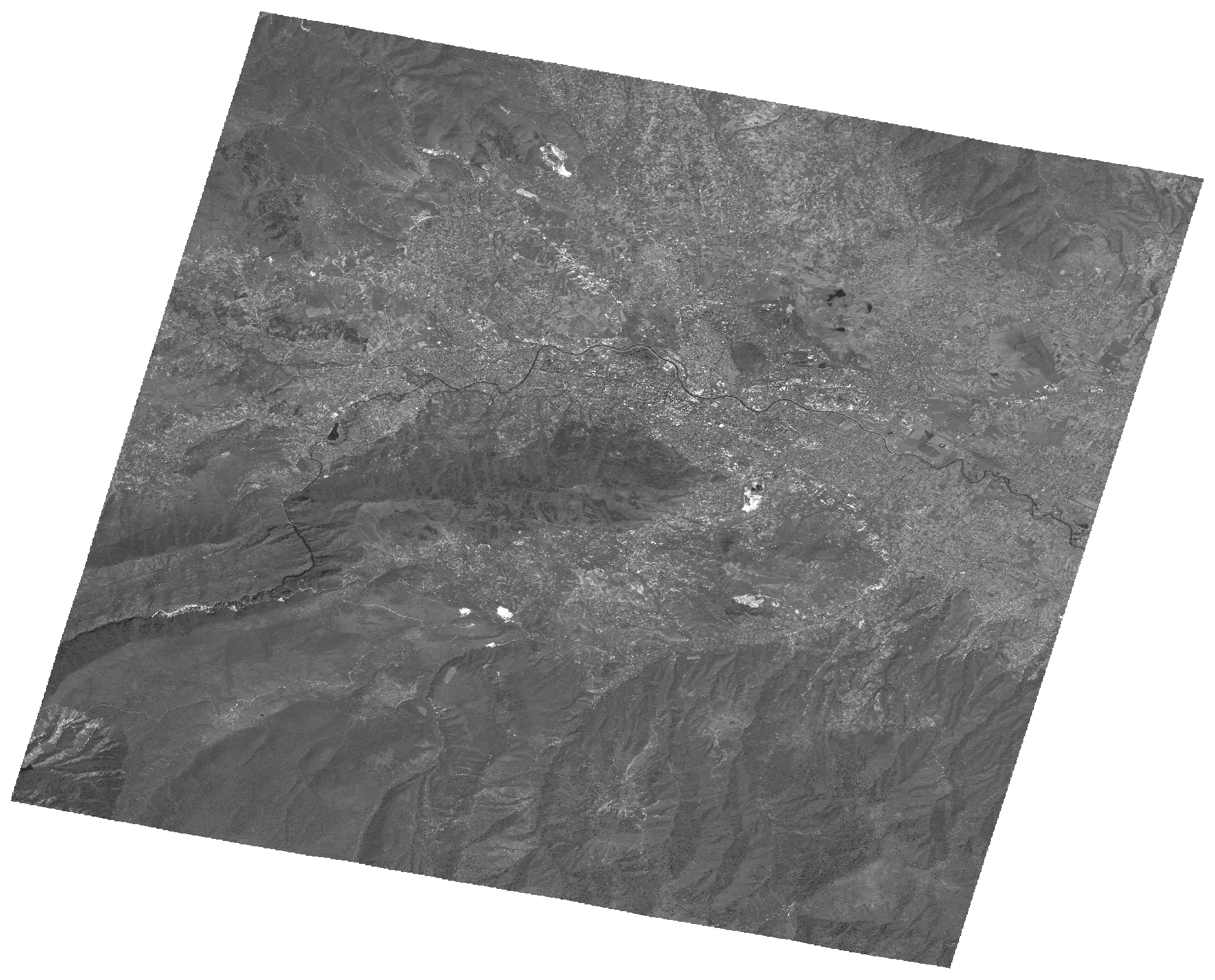
Start Date | 2009-07-27T09:25:08Z |
Stop Date | 2009-07-27T09:25:13Z |
Availability Time | 2009-07-27T09:25:13Z |
Platform Short Name | Cartosat |
Serial Identifier | 1 |
Instrument Short Name | PAN |
Operational Mode | PAM |
Resolution | 2.5 |
Orbit Number | 22882 |
Orbit Direction | DESCENDING |
Path | E021 |
Row | N41 |
Illumination Azimuth Angle | 139.13361525 |
Illumination Elevation Angle | 62.10880854 |
Footprint | 42.1299114 21.1998215 41.7984115 21.1998215 41.7984115 21.6107717 42.1299114 21.6107717 42.1299114 21.1998215 |
Scene Centre | 41.9643446366 21.4052966 |
Size | 119480987 |
Id | CA1_OPER_PAN_PAM_3O_20090727T092508_N41-964_E021-405_01 |
Acquisition Type | NOMINAL |
Product Type | PAN_PAM_3O |
Status | ARCHIVED |
Bounding Box | 42.1299114 21.1998215 41.7984115 21.1998215 41.7984115 21.6107717 42.1299114 21.6107717 |
Site | Skopje |