Static Map Catalogue - Full Metadata Record
Collection Cartosat
European Cities: Cartosat-1 Euro-Maps 3D. More details here.
CA1_OPER_PAN_PAM_3O_20090621T082819_N47-241_E039-716_01
Download Product | Browse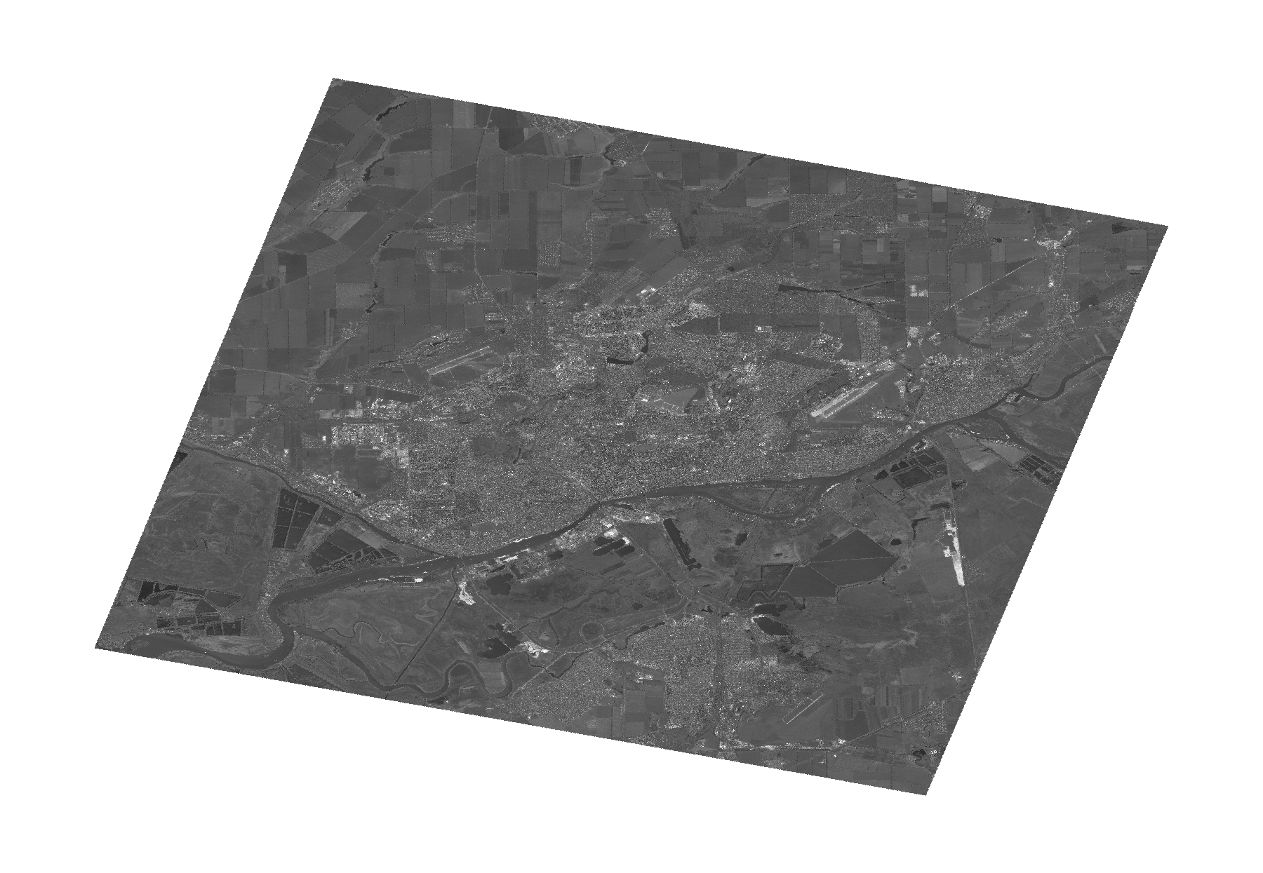
Start Date | 2009-06-21T08:28:19Z |
Stop Date | 2009-06-21T08:28:23Z |
Availability Time | 2009-06-21T08:28:23Z |
Platform Short Name | Cartosat |
Serial Identifier | 1 |
Instrument Short Name | PAN |
Operational Mode | PAM |
Resolution | 2.5 |
Orbit Number | 22348 |
Orbit Direction | DESCENDING |
Path | E039 |
Row | N47 |
Illumination Azimuth Angle | 150.67592933 |
Illumination Elevation Angle | 63.82217623 |
Footprint | 47.4435617 39.4244133 47.0395743 39.4244133 47.0395743 40.0084914 47.4435617 40.0084914 47.4435617 39.4244133 |
Scene Centre | 47.2419389967 39.71645235 |
Size | 121314508 |
Id | CA1_OPER_PAN_PAM_3O_20090621T082819_N47-241_E039-716_01 |
Acquisition Type | NOMINAL |
Product Type | PAN_PAM_3O |
Status | ARCHIVED |
Bounding Box | 47.4435617 39.4244133 47.0395743 39.4244133 47.0395743 40.0084914 47.4435617 40.0084914 |
Site | Rostov-on-Don |