Static Map Catalogue - Full Metadata Record
Collection Cartosat
European Cities: Cartosat-1 Euro-Maps 3D. More details here.
CA1_OPER_DSM_DEM_3D_20090621T082819_N47-000_E039-000_4D
Download Product | Browse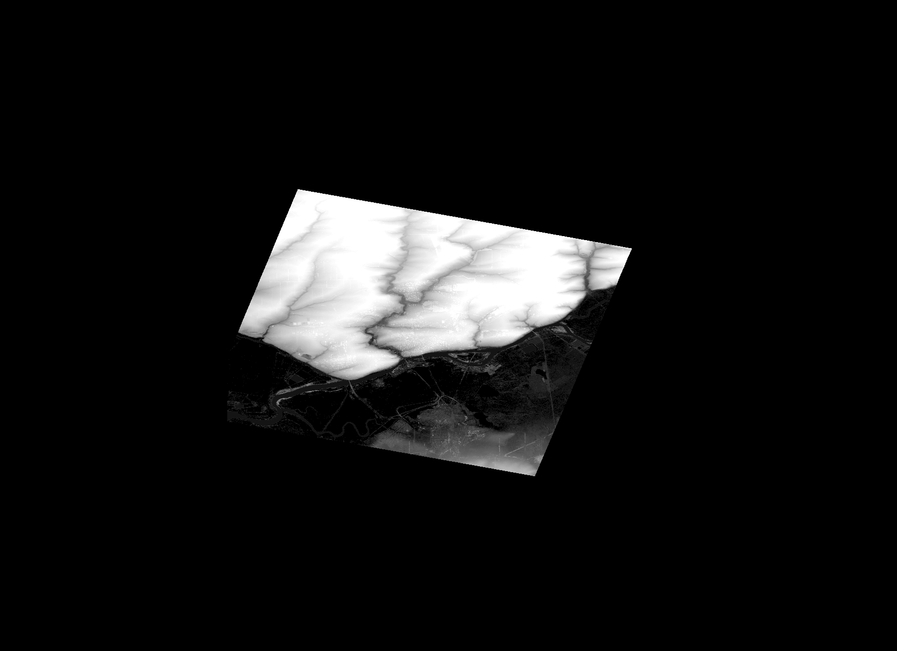
Start Date | 2009-06-21T08:28:19Z |
Stop Date | 2009-06-21T08:28:19Z |
Availability Time | 2009-06-21T08:28:19Z |
Platform Short Name | Cartosat |
Serial Identifier | 1 |
Instrument Short Name | DSM |
Operational Mode | DEFAULT |
Resolution | |
Orbit Number | 0 |
Orbit Direction | |
Path | |
Row | |
Illumination Azimuth Angle | |
Illumination Elevation Angle | |
Footprint | 47.3392740623 39.9640326563 47.3392268251 39.9642216052 47.3391795879 39.9645522657 47.3391323507 39.9646939774 47.3390851135 39.9648829262 47.3390378762 39.9649774007 47.0757376231 39.8528834824 47.0754069626 39.8527417707 47.138326937 39.4972817053 47.1383741742 39.4971399936 47.138326937 39.4970927564 47.1383741742 39.4969510447 47.2108360666 39.496573147 47.2580732846 39.5154680342 47.4067760468 39.5778683992 47.4072011818 39.578057348 47.3392740623 39.9640326563 |
Scene Centre | |
Size | 45910889 |
Id | CA1_OPER_DSM_DEM_3D_20090621T082819_N47-000_E039-000_4D |
Acquisition Type | NOMINAL |
Product Type | DSM_DEM_3D |
Status | ARCHIVED |
Bounding Box | 47.6268542 39.2334146 46.8725231 39.2334146 46.8725231 40.2719248 47.6268542 40.2719248 |
Site | Rostov-on-Don |