Static Map Catalogue - Full Metadata Record
Collection Cartosat
European Cities: Cartosat-1 Euro-Maps 3D. More details here.
CA1_OPER_PAN_PAM_3O_20120804T100619_N41-965_E012-596_01
Download Product | Browse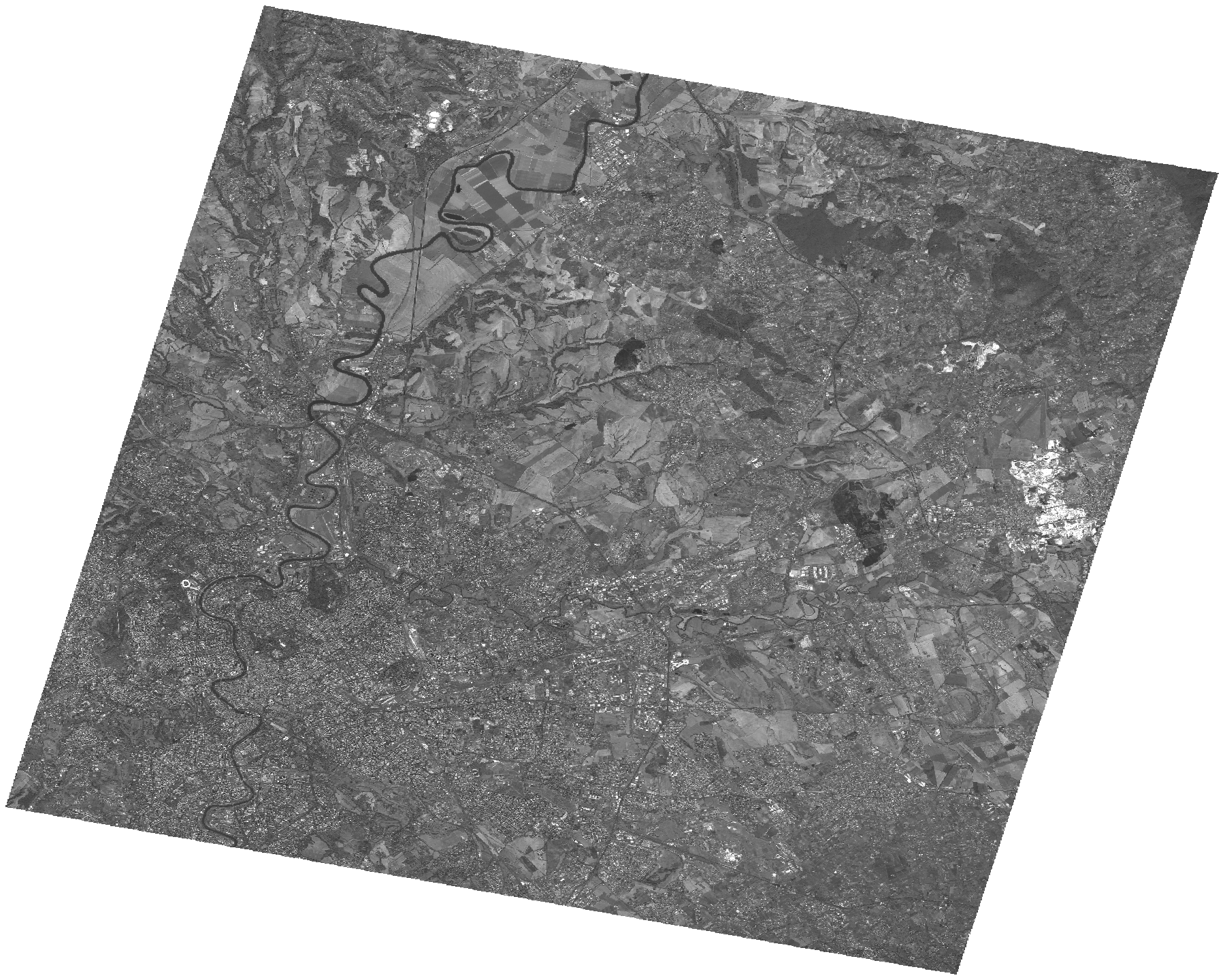
Start Date | 2012-08-04T10:06:19Z |
Stop Date | 2012-08-04T10:06:23Z |
Availability Time | 2012-08-04T10:06:23Z |
Platform Short Name | Cartosat |
Serial Identifier | 1 |
Instrument Short Name | PAN |
Operational Mode | PAM |
Resolution | 2.5 |
Orbit Number | 39242 |
Orbit Direction | DESCENDING |
Path | E012 |
Row | N41 |
Illumination Azimuth Angle | 144.03680189 |
Illumination Elevation Angle | 61.04290074 |
Footprint | 42.1284273 12.3928030 41.8019054 12.3928030 41.8019054 12.8009553 42.1284273 12.8009553 42.1284273 12.3928030 |
Scene Centre | 41.9653470514 12.59687915 |
Size | 131293256 |
Id | CA1_OPER_PAN_PAM_3O_20120804T100619_N41-965_E012-596_01 |
Acquisition Type | NOMINAL |
Product Type | PAN_PAM_3O |
Status | ARCHIVED |
Bounding Box | 42.1284273 12.392803 41.8019054 12.392803 41.8019054 12.8009553 42.1284273 12.8009553 |
Site | Rome |