Static Map Catalogue - Full Metadata Record
Collection Cartosat
European Cities: Cartosat-1 Euro-Maps 3D. More details here.
CA1_OPER_PAN_PAM_3O_20090809T100119_N41-798_E012-290_01
Download Product | Browse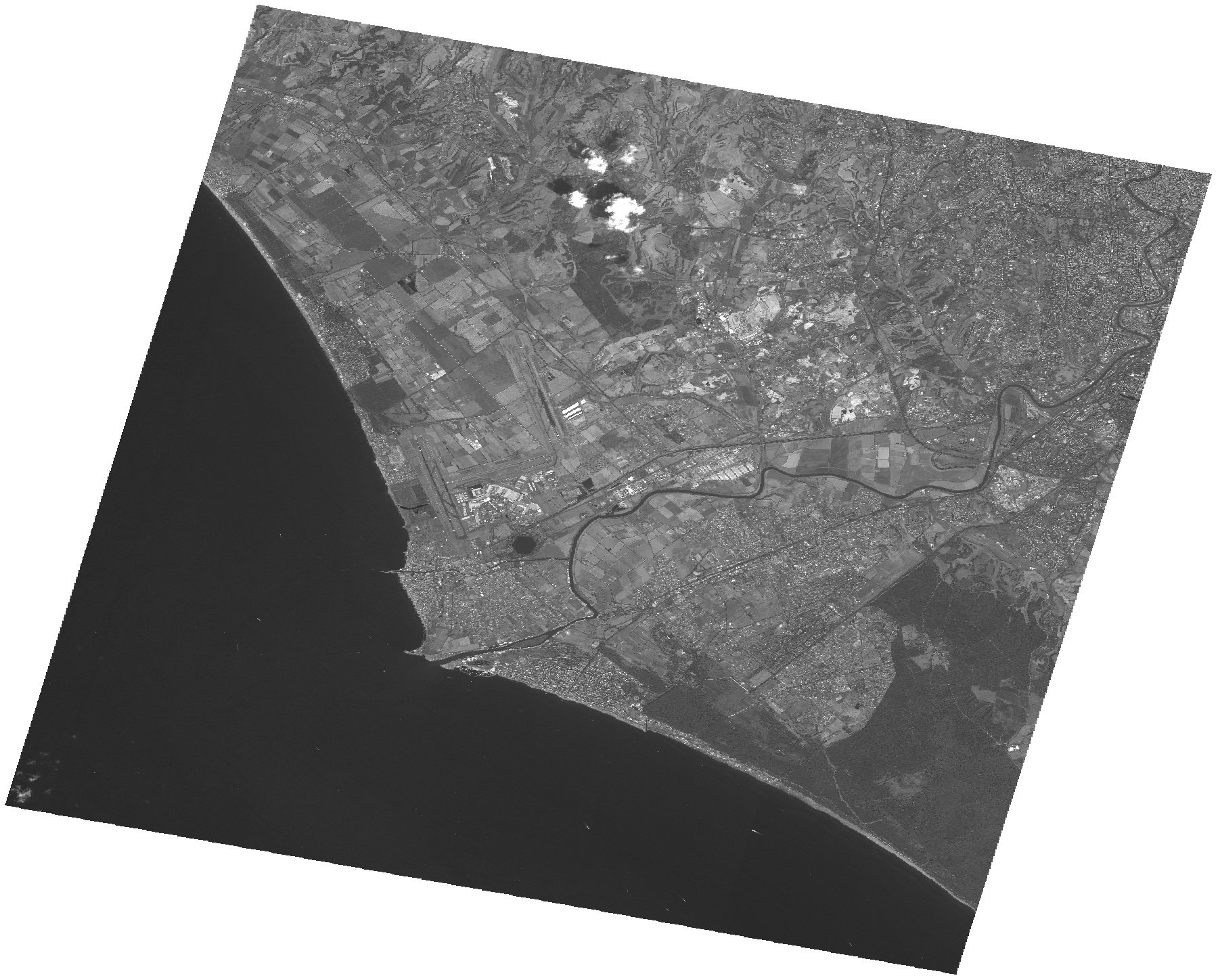
Start Date | 2009-08-09T10:01:19Z |
Stop Date | 2009-08-09T10:01:23Z |
Availability Time | 2009-08-09T10:01:23Z |
Platform Short Name | Cartosat |
Serial Identifier | 1 |
Instrument Short Name | PAN |
Operational Mode | PAM |
Resolution | 2.5 |
Orbit Number | 23075 |
Orbit Direction | DESCENDING |
Path | E012 |
Row | N41 |
Illumination Azimuth Angle | 142.67959270 |
Illumination Elevation Angle | 59.37481078 |
Footprint | 41.9617407 12.0877103 41.6348463 12.0877103 41.6348463 12.4940708 41.9617407 12.4940708 41.9617407 12.0877103 |
Scene Centre | 41.7984725043 12.29089055 |
Size | 108990793 |
Id | CA1_OPER_PAN_PAM_3O_20090809T100119_N41-798_E012-290_01 |
Acquisition Type | NOMINAL |
Product Type | PAN_PAM_3O |
Status | ARCHIVED |
Bounding Box | 41.9617407 12.0877103 41.6348463 12.0877103 41.6348463 12.4940708 41.9617407 12.4940708 |
Site | Rome |