Static Map Catalogue - Full Metadata Record
Collection Cartosat
European Cities: Cartosat-1 Euro-Maps 3D. More details here.
CA1_OPER_PAN_PAM_3O_20090809T100116_N42-020_E012-361_01
Download Product | Browse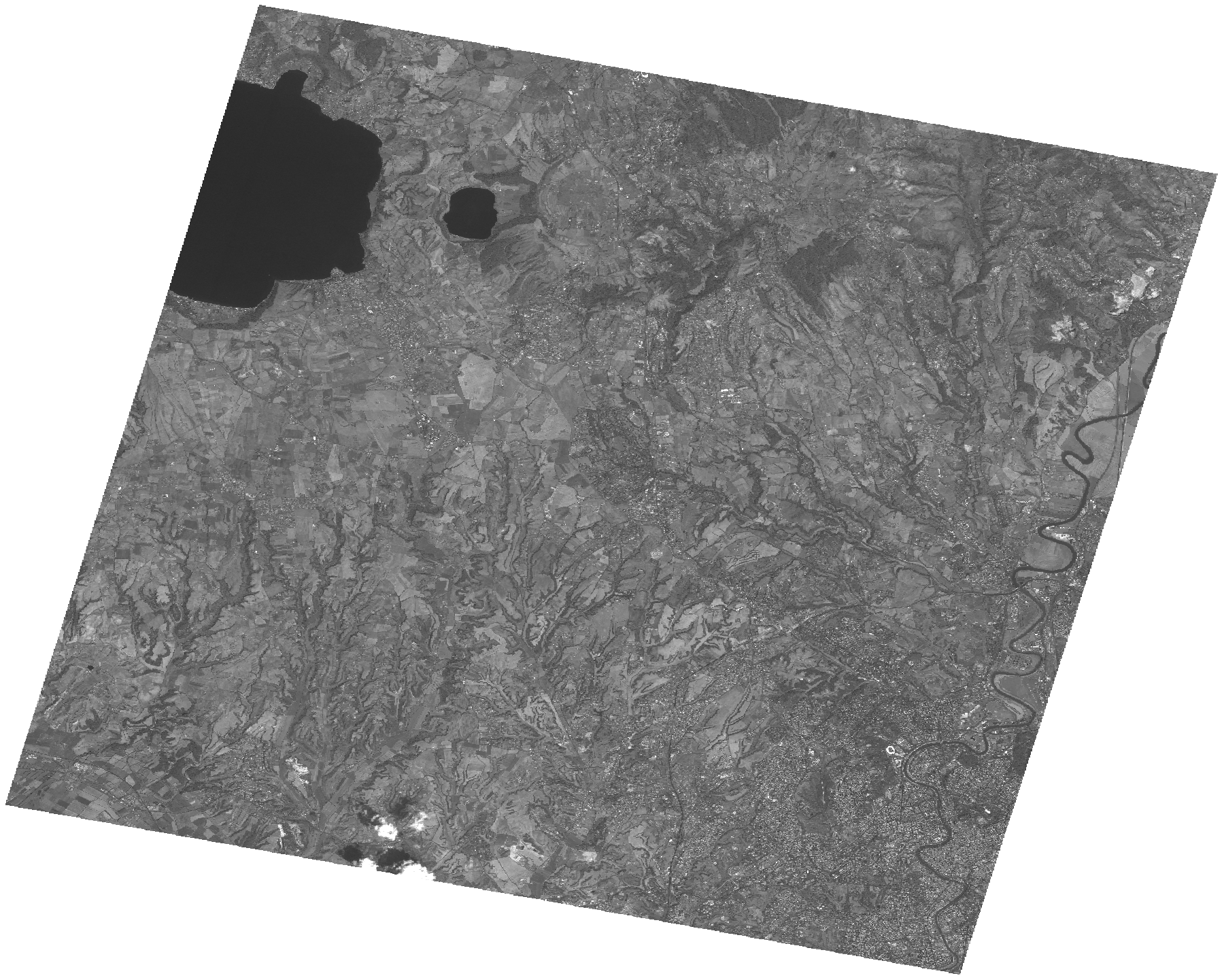
Start Date | 2009-08-09T10:01:16Z |
Stop Date | 2009-08-09T10:01:20Z |
Availability Time | 2009-08-09T10:01:20Z |
Platform Short Name | Cartosat |
Serial Identifier | 1 |
Instrument Short Name | PAN |
Operational Mode | PAM |
Resolution | 2.5 |
Orbit Number | 23075 |
Orbit Direction | DESCENDING |
Path | E012 |
Row | N42 |
Illumination Azimuth Angle | 142.99870429 |
Illumination Elevation Angle | 59.22243126 |
Footprint | 42.1840646 12.1577878 41.8573280 12.1577878 41.8573280 12.5659251 42.1840646 12.5659251 42.1840646 12.1577878 |
Scene Centre | 42.020877025 12.36185645 |
Size | 120736893 |
Id | CA1_OPER_PAN_PAM_3O_20090809T100116_N42-020_E012-361_01 |
Acquisition Type | NOMINAL |
Product Type | PAN_PAM_3O |
Status | ARCHIVED |
Bounding Box | 42.1840646 12.1577878 41.857328 12.1577878 41.857328 12.5659251 42.1840646 12.5659251 |
Site | Rome |