Static Map Catalogue - Full Metadata Record
Collection Cartosat
European Cities: Cartosat-1 Euro-Maps 3D. More details here.
CA1_OPER_DSM_DEM_3D_20120804T100623_N42-000_E012-000_4D
Download Product | Browse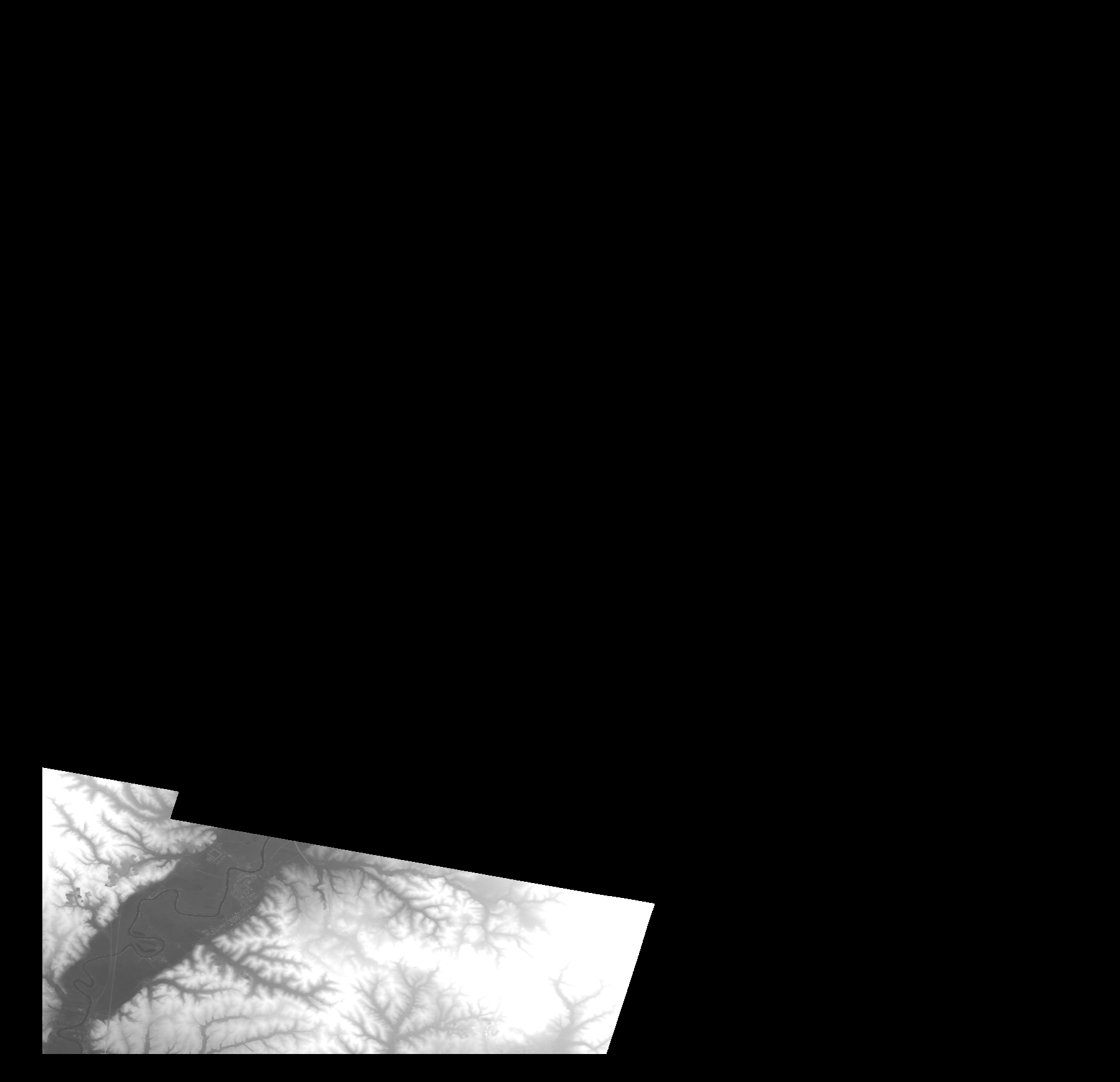
Start Date | 2012-08-04T10:06:23Z |
Stop Date | 2012-08-04T10:06:23Z |
Availability Time | 2012-08-04T10:06:23Z |
Platform Short Name | Cartosat |
Serial Identifier | 1 |
Instrument Short Name | DSM |
Operational Mode | DEFAULT |
Resolution | |
Orbit Number | 0 |
Orbit Direction | |
Path | |
Row | |
Illumination Azimuth Angle | |
Illumination Elevation Angle | |
Footprint | 42.1263932493 12.5630998136 42.1263424377 12.5634046832 42.1262916261 12.5636587413 42.1262408145 12.5639127993 42.1261900029 12.5639636109 42.0710594059 12.7980526988 42.0710085943 12.7983575685 42.0709577827 12.7986624381 42.0709069711 12.7988656846 42.0699415505 12.7987640613 42.0683663905 12.7982051336 42.0411821791 12.7896179715 42.0282252185 12.7854514195 41.9987036731 12.7757972136 41.9974841944 12.7753907207 41.9970777015 12.7752890975 41.9967220203 12.5002458518 41.9966712087 12.5000426054 41.9966712087 12.4983150107 42.1360982668 12.4965874159 42.1263932493 12.5630998136 |
Scene Centre | |
Size | 91318836 |
Id | CA1_OPER_DSM_DEM_3D_20120804T100623_N42-000_E012-000_4D |
Acquisition Type | NOMINAL |
Product Type | DSM_DEM_3D |
Status | ARCHIVED |
Bounding Box | 42.5171853 12.4757547 41.9827996 12.4757547 41.9827996 13.0285850 42.5171853 13.0285850 42.5171853 12.4757547 |
Site | Rome |