Static Map Catalogue - Full Metadata Record
Collection Cartosat
European Cities: Cartosat-1 Euro-Maps 3D. More details here.
CA1_OPER_PAN_PAM_3O_20090829T092655_N42-631_E021-051_01
Download Product | Browse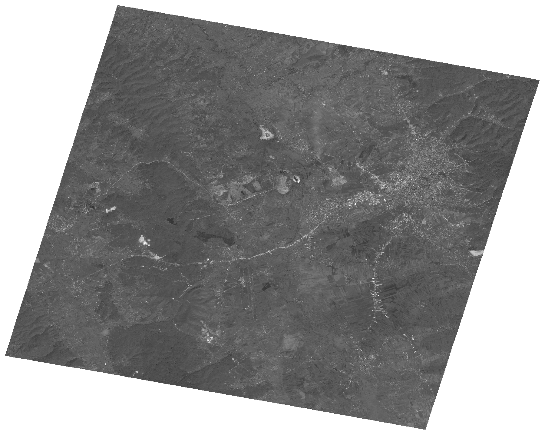
Start Date | 2009-08-29T09:26:55Z |
Stop Date | 2009-08-29T09:26:59Z |
Availability Time | 2009-08-29T09:26:59Z |
Platform Short Name | Cartosat |
Serial Identifier | 1 |
Instrument Short Name | PAN |
Operational Mode | PAM |
Resolution | 2.5 |
Orbit Number | 23371 |
Orbit Direction | DESCENDING |
Path | E021 |
Row | N42 |
Illumination Azimuth Angle | 150.38237827 |
Illumination Elevation Angle | 53.29976779 |
Footprint | 42.7974575 20.8439741 42.4657961 20.8439741 42.4657961 21.2597057 42.7974575 21.2597057 42.7974575 20.8439741 |
Scene Centre | 42.6318146879 21.0518399 |
Size | 103266966 |
Id | CA1_OPER_PAN_PAM_3O_20090829T092655_N42-631_E021-051_01 |
Acquisition Type | NOMINAL |
Product Type | PAN_PAM_3O |
Status | ARCHIVED |
Bounding Box | 42.7974575 20.8439741 42.4657961 20.8439741 42.4657961 21.2597057 42.7974575 21.2597057 |
Site | Pristina |