Static Map Catalogue - Full Metadata Record
Collection Cartosat
European Cities: Cartosat-1 Euro-Maps 3D. More details here.
CA1_OPER_PAN_PAM_3O_20100531T112512_N41-137_W008-498_01
Download Product | Browse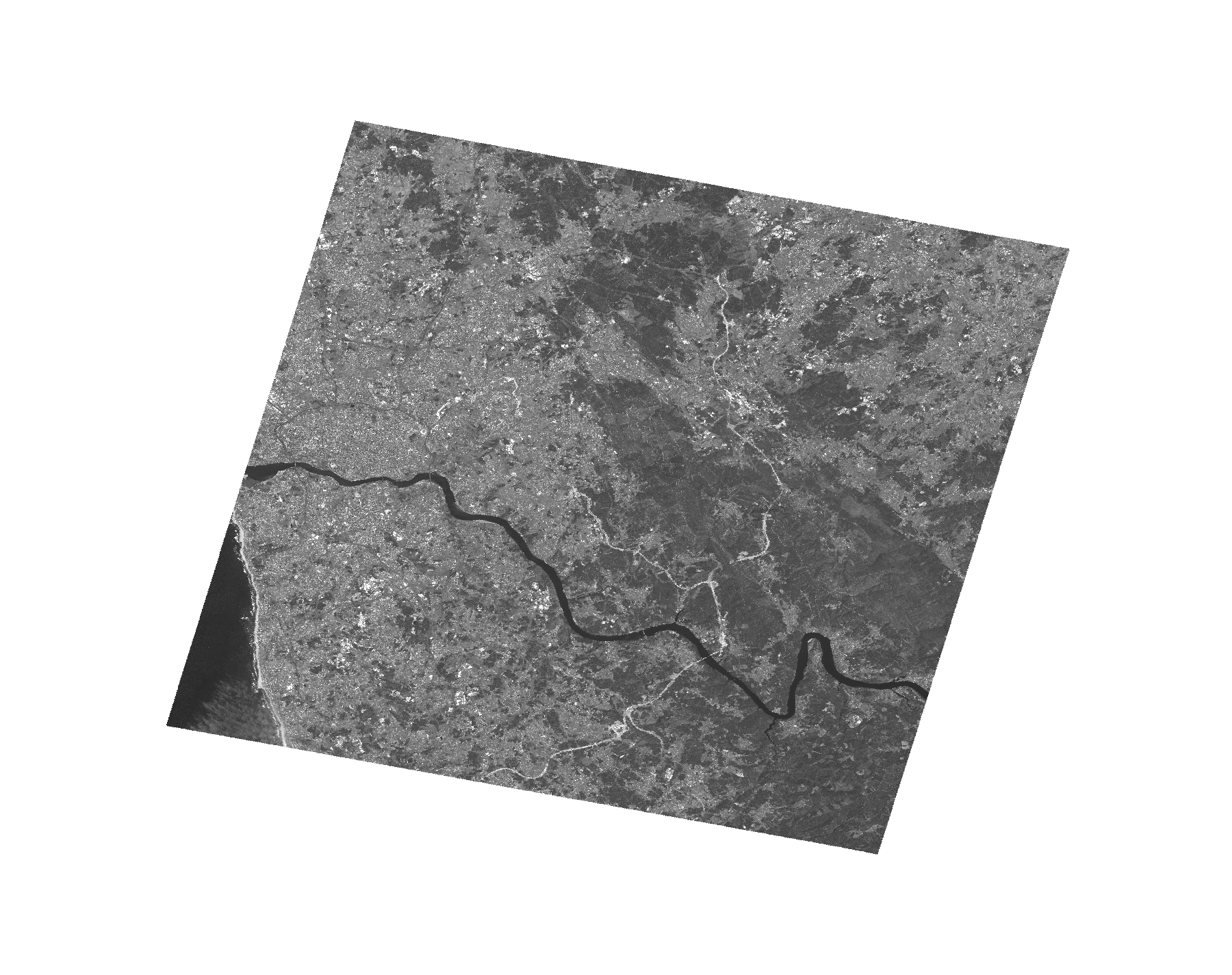
Start Date | 2010-05-31T11:25:12Z |
Stop Date | 2010-05-31T11:25:16Z |
Availability Time | 2010-05-31T11:25:16Z |
Platform Short Name | Cartosat |
Serial Identifier | 1 |
Instrument Short Name | PAN |
Operational Mode | PAM |
Resolution | 2.5 |
Orbit Number | 27447 |
Orbit Direction | DESCENDING |
Path | W008 |
Row | N41 |
Illumination Azimuth Angle | 138.91737502 |
Illumination Elevation Angle | 66.25207849 |
Footprint | 41.3522730 -8.7705517 40.9220753 -8.7705517 40.9220753 -8.2271440 41.3522730 -8.2271440 41.3522730 -8.7705517 |
Scene Centre | 41.1374933412 -8.49884785 |
Size | 133943085 |
Id | CA1_OPER_PAN_PAM_3O_20100531T112512_N41-137_W008-498_01 |
Acquisition Type | NOMINAL |
Product Type | PAN_PAM_3O |
Status | ARCHIVED |
Bounding Box | 41.352273 -8.7705517 40.9220753 -8.7705517 40.9220753 -8.227144 41.352273 -8.227144 |
Site | Porto |