Static Map Catalogue - Full Metadata Record
Collection Cartosat
European Cities: Cartosat-1 Euro-Maps 3D. More details here.
CA1_OPER_PAN_PAM_3O_20090802T093412_N42-472_E019-254_01
Download Product | Browse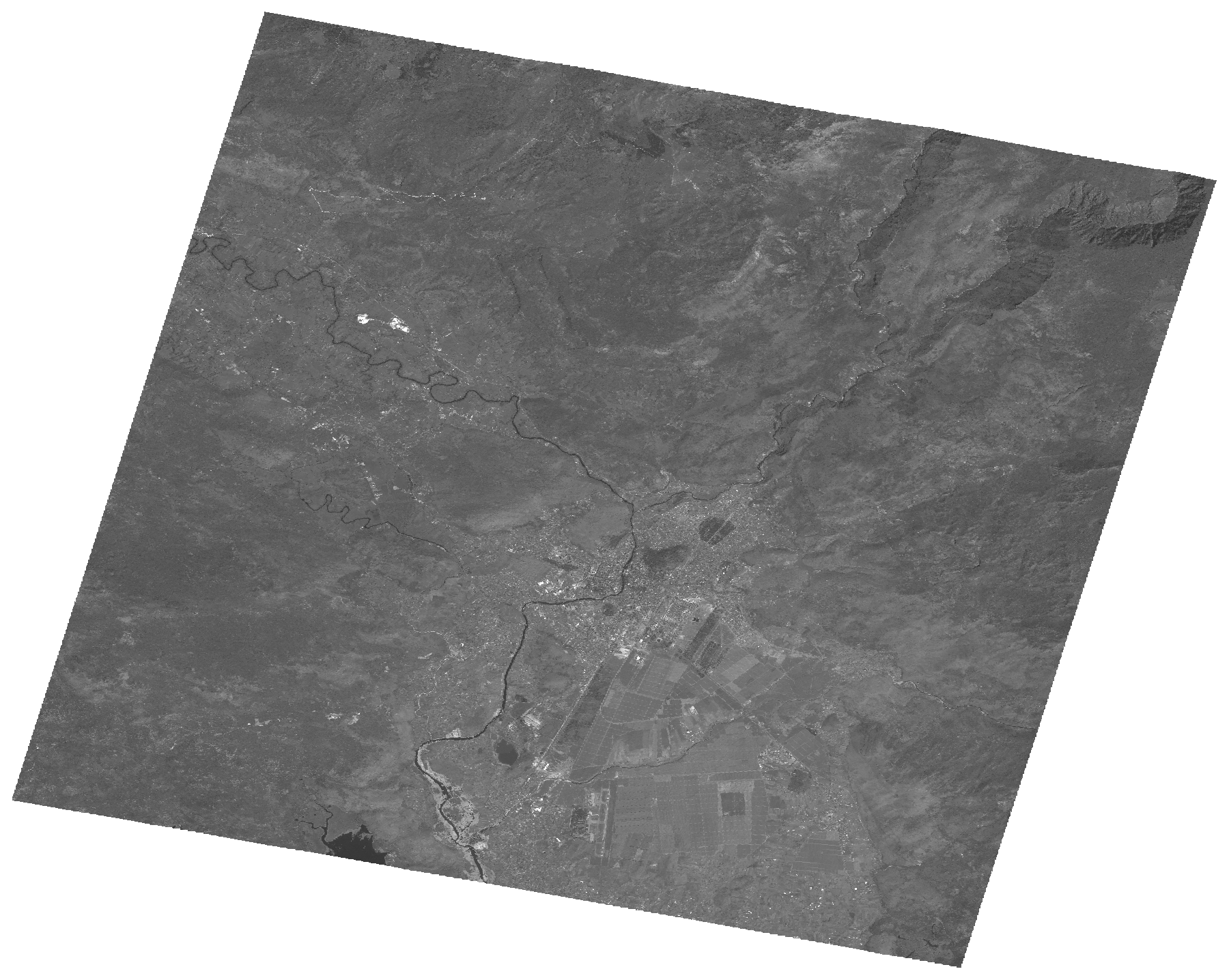
Start Date | 2009-08-02T09:34:12Z |
Stop Date | 2009-08-02T09:34:17Z |
Availability Time | 2009-08-02T09:34:17Z |
Platform Short Name | Cartosat |
Serial Identifier | 1 |
Instrument Short Name | PAN |
Operational Mode | PAM |
Resolution | 2.5 |
Orbit Number | 22971 |
Orbit Direction | DESCENDING |
Path | E019 |
Row | N42 |
Illumination Azimuth Angle | 141.54940002 |
Illumination Elevation Angle | 60.53702441 |
Footprint | 42.6375295 19.0474243 42.3063709 19.0474243 42.3063709 19.4625256 42.6375295 19.4625256 42.6375295 19.0474243 |
Scene Centre | 42.4721374291 19.25497495 |
Size | 109044099 |
Id | CA1_OPER_PAN_PAM_3O_20090802T093412_N42-472_E019-254_01 |
Acquisition Type | NOMINAL |
Product Type | PAN_PAM_3O |
Status | ARCHIVED |
Bounding Box | 42.6375295 19.0474243 42.3063709 19.0474243 42.3063709 19.4625256 42.6375295 19.4625256 |
Site | Podgorica |