Static Map Catalogue - Full Metadata Record
Collection Cartosat
European Cities: Cartosat-1 Euro-Maps 3D. More details here.
CA1_OPER_DSM_DEM_3D_20090802T093412_N42-000_E019-000_4C
Download Product | Browse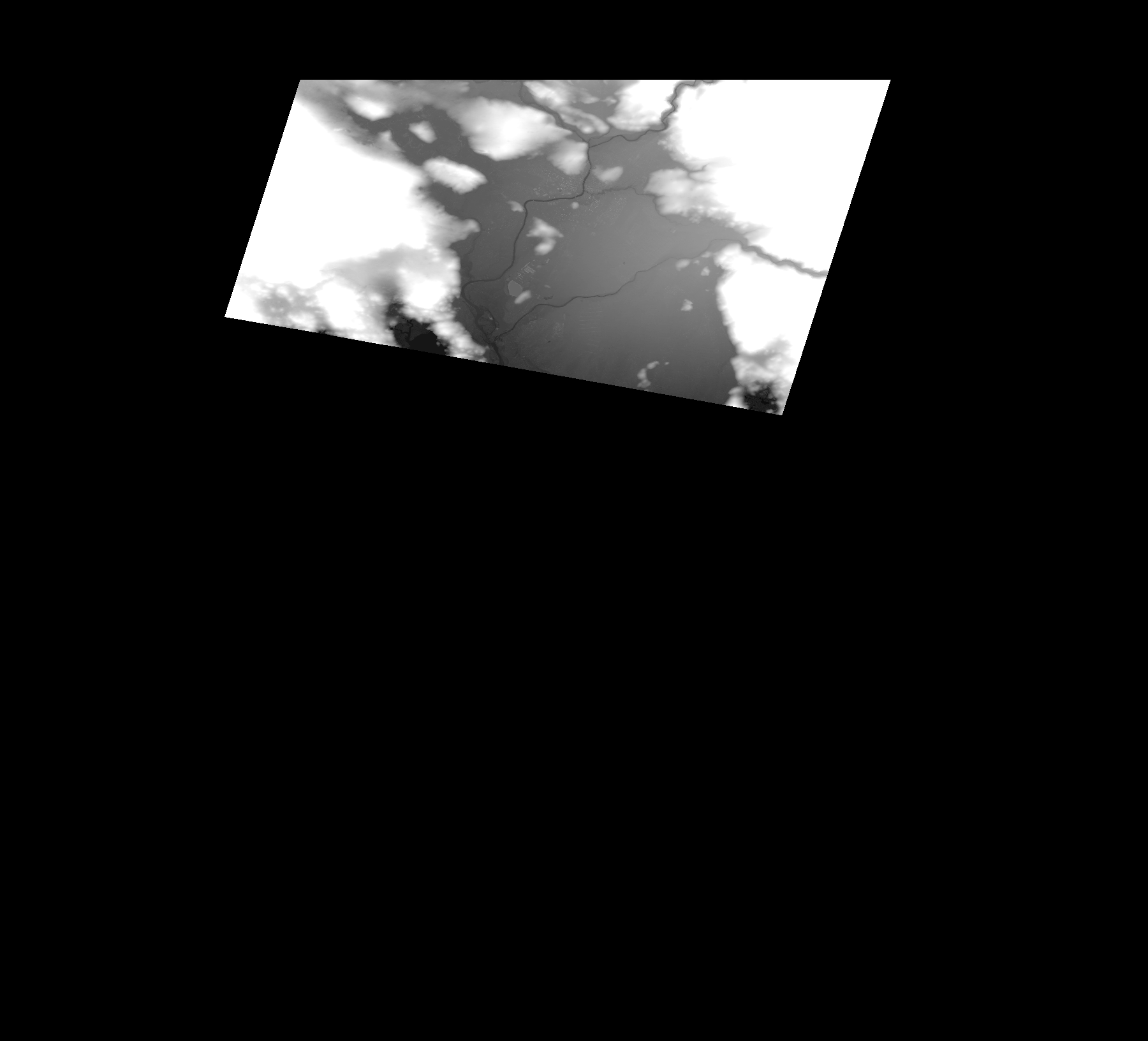
Start Date | 2009-08-02T09:34:12Z |
Stop Date | 2009-08-02T09:34:12Z |
Availability Time | 2009-08-02T09:34:12Z |
Platform Short Name | Cartosat |
Serial Identifier | 1 |
Instrument Short Name | DSM |
Operational Mode | DEFAULT |
Resolution | |
Orbit Number | 0 |
Orbit Direction | |
Path | |
Row | |
Illumination Azimuth Angle | |
Illumination Elevation Angle | |
Footprint | 42.5034184157 19.4337145001 42.5033684361 19.4339144183 42.5034184157 19.4341643161 42.5033684361 19.4344142138 42.3112470499 19.3723895935 42.3106972749 19.3722396549 42.3667743288 19.0521706233 42.3668243084 19.0520706642 42.3668742879 19.0515208892 42.3669242675 19.0514709097 42.366974247 19.0513709506 42.5021689269 19.0944533218 42.5028686406 19.09465324 42.5034184157 19.4337145001 |
Scene Centre | |
Size | 55352384 |
Id | CA1_OPER_DSM_DEM_3D_20090802T093412_N42-000_E019-000_4C |
Acquisition Type | NOMINAL |
Product Type | DSM_DEM_3D |
Status | ARCHIVED |
Bounding Box | 42.5492996 18.9220739 41.9504447 18.9220739 41.9504447 19.5826536 42.5492996 19.5826536 42.5492996 18.9220739 |
Site | Podgorica |