Static Map Catalogue - Full Metadata Record
Collection Cartosat
European Cities: Cartosat-1 Euro-Maps 3D. More details here.
CA1_OPER_DSM_DEM_3D_20090802T093412_N42-000_E019-000_4A
Download Product | Browse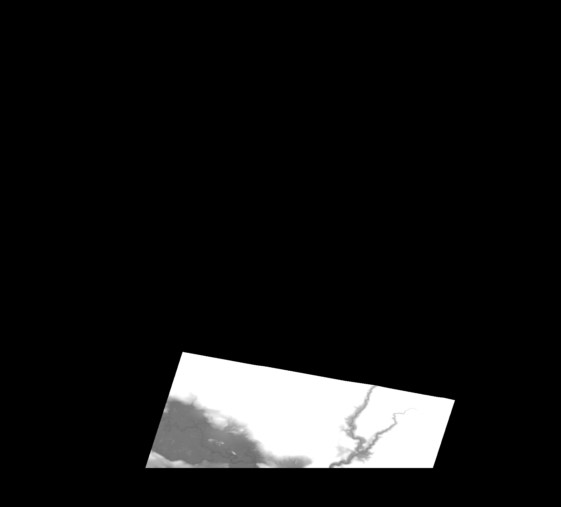
Start Date | 2009-08-02T09:34:12Z |
Stop Date | 2009-08-02T09:34:12Z |
Availability Time | 2009-08-02T09:34:12Z |
Platform Short Name | Cartosat |
Serial Identifier | 1 |
Instrument Short Name | DSM |
Operational Mode | DEFAULT |
Resolution | |
Orbit Number | 0 |
Orbit Direction | |
Path | |
Row | |
Illumination Azimuth Angle | |
Illumination Elevation Angle | |
Footprint | 42.5768228092 19.4580530164 42.576772738 19.4581030875 42.5767226669 19.4584035142 42.5766725958 19.4584535854 42.4975602283 19.4327671015 42.497009446 19.4326168881 42.4967590904 19.4325167459 42.4966589481 19.0932348456 42.4967090193 19.0930345612 42.6331027466 19.1364962922 42.6332028888 19.1365463633 42.6334532444 19.1365964344 42.5768228092 19.4580530164 |
Scene Centre | |
Size | 96251815 |
Id | CA1_OPER_DSM_DEM_3D_20090802T093412_N42-000_E019-000_4A |
Acquisition Type | NOMINAL |
Product Type | DSM_DEM_3D |
Status | ARCHIVED |
Bounding Box | 43.0490435 18.9209902 42.4507938 18.9209902 42.4507938 19.5838317 43.0490435 19.5838317 43.0490435 18.9209902 |
Site | Podgorica |