Static Map Catalogue - Full Metadata Record
Collection Cartosat
European Cities: Cartosat-1 Euro-Maps 3D. More details here.
CA1_OPER_PAN_PAM_3O_20090814T095348_N38-123_E013-295_01
Download Product | Browse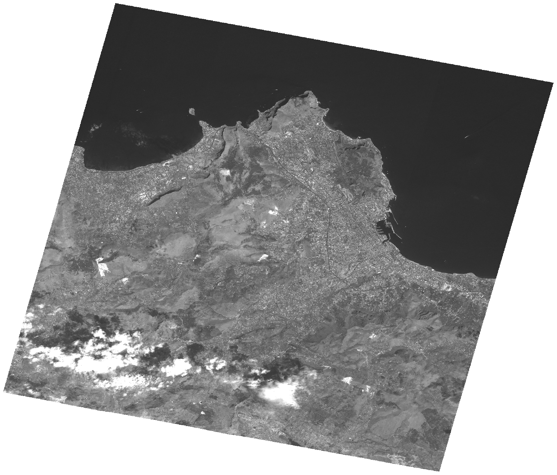
Start Date | 2009-08-14T09:53:48Z |
Stop Date | 2009-08-14T09:53:52Z |
Availability Time | 2009-08-14T09:53:52Z |
Platform Short Name | Cartosat |
Serial Identifier | 1 |
Instrument Short Name | PAN |
Operational Mode | PAM |
Resolution | 2.5 |
Orbit Number | 23149 |
Orbit Direction | DESCENDING |
Path | E013 |
Row | N38 |
Illumination Azimuth Angle | 139.04777391 |
Illumination Elevation Angle | 60.61544908 |
Footprint | 38.2869396 13.1036166 37.9597570 13.1036166 37.9597570 13.4875335 38.2869396 13.4875335 38.2869396 13.1036166 |
Scene Centre | 38.1235044705 13.29557505 |
Size | 108274191 |
Id | CA1_OPER_PAN_PAM_3O_20090814T095348_N38-123_E013-295_01 |
Acquisition Type | NOMINAL |
Product Type | PAN_PAM_3O |
Status | ARCHIVED |
Bounding Box | 38.2869396 13.1036166 37.959757 13.1036166 37.959757 13.4875335 38.2869396 13.4875335 |
Site | Palermo |