Static Map Catalogue - Full Metadata Record
Collection Cartosat
European Cities: Cartosat-1 Euro-Maps 3D. More details here.
CA1_OPER_DSM_DEM_3D_20090814T095348_N38-000_E013-000_4C
Download Product | Browse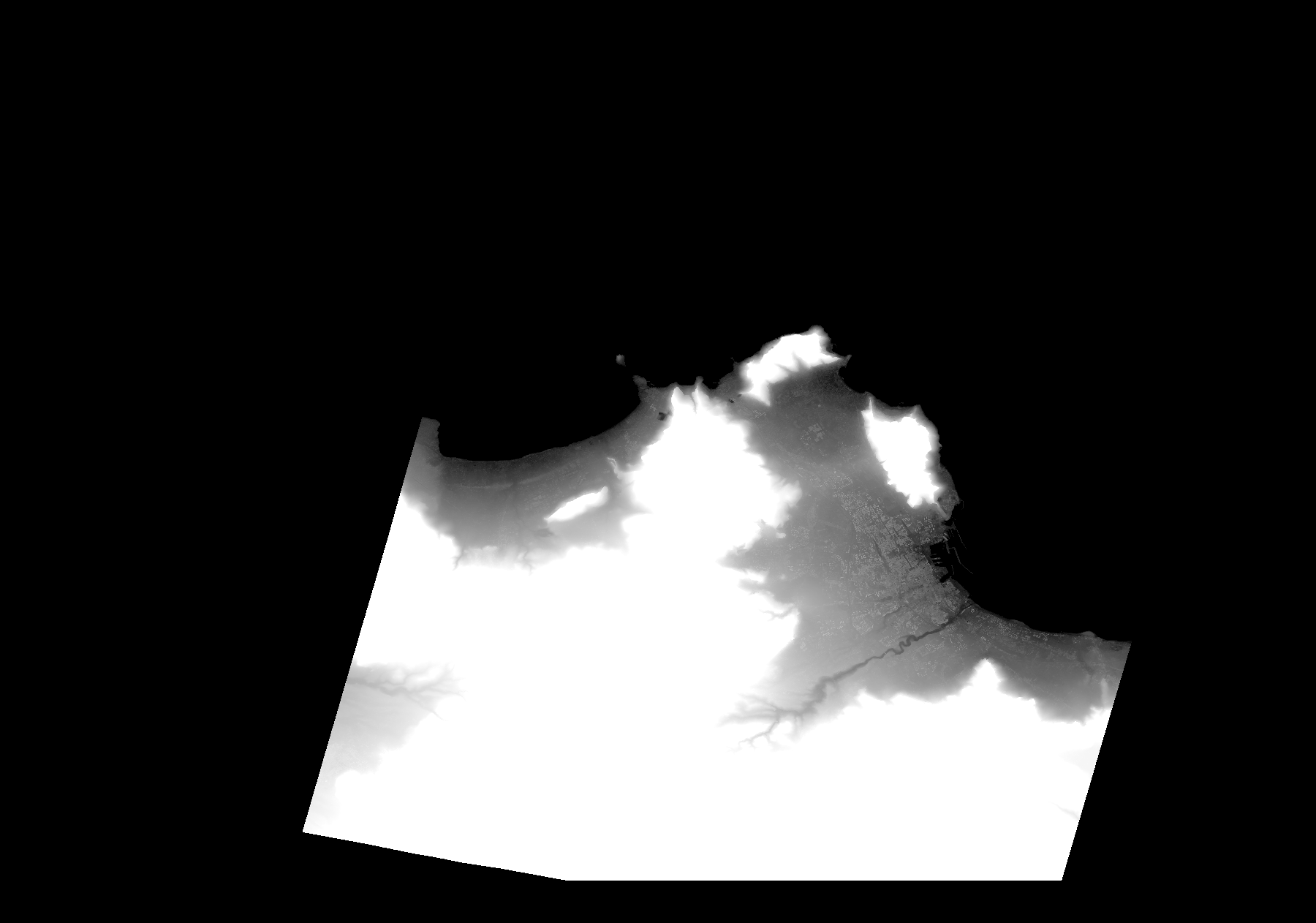
Start Date | 2009-08-14T09:53:48Z |
Stop Date | 2009-08-14T09:53:48Z |
Availability Time | 2009-08-14T09:53:48Z |
Platform Short Name | Cartosat |
Serial Identifier | 1 |
Instrument Short Name | DSM |
Operational Mode | DEFAULT |
Resolution | |
Orbit Number | 0 |
Orbit Direction | |
Path | |
Row | |
Illumination Azimuth Angle | |
Illumination Elevation Angle | |
Footprint | 38.2302431463 13.4844300252 38.2301913414 13.4846890497 38.2301395364 13.4850516841 38.2300877315 13.4852589037 38.218794262 13.4820988044 37.9978981418 13.417135452 37.9974318976 13.4170318422 37.9969656535 13.4168764274 37.9967584339 13.2158733913 38.0164961031 13.1062542097 38.016547908 13.1059433802 38.0165997129 13.1056325508 38.0166515179 13.105528941 38.2843274684 13.182873666 38.2845864929 13.1829772758 38.2302431463 13.4844300252 |
Scene Centre | |
Size | 28791468 |
Id | CA1_OPER_DSM_DEM_3D_20090814T095348_N38-000_E013-000_4C |
Acquisition Type | NOMINAL |
Product Type | DSM_DEM_3D |
Status | ARCHIVED |
Bounding Box | 38.3576832 12.9814562 37.9794038 12.9814562 37.9794038 13.5210561 38.3576832 13.5210561 38.3576832 12.9814562 |
Site | Palermo |