Static Map Catalogue - Full Metadata Record
Collection Cartosat
European Cities: Cartosat-1 Euro-Maps 3D. More details here.
CA1_OPER_PAN_PAM_3O_20140313T085955_N46-522_E030-643_01
Download Product | Browse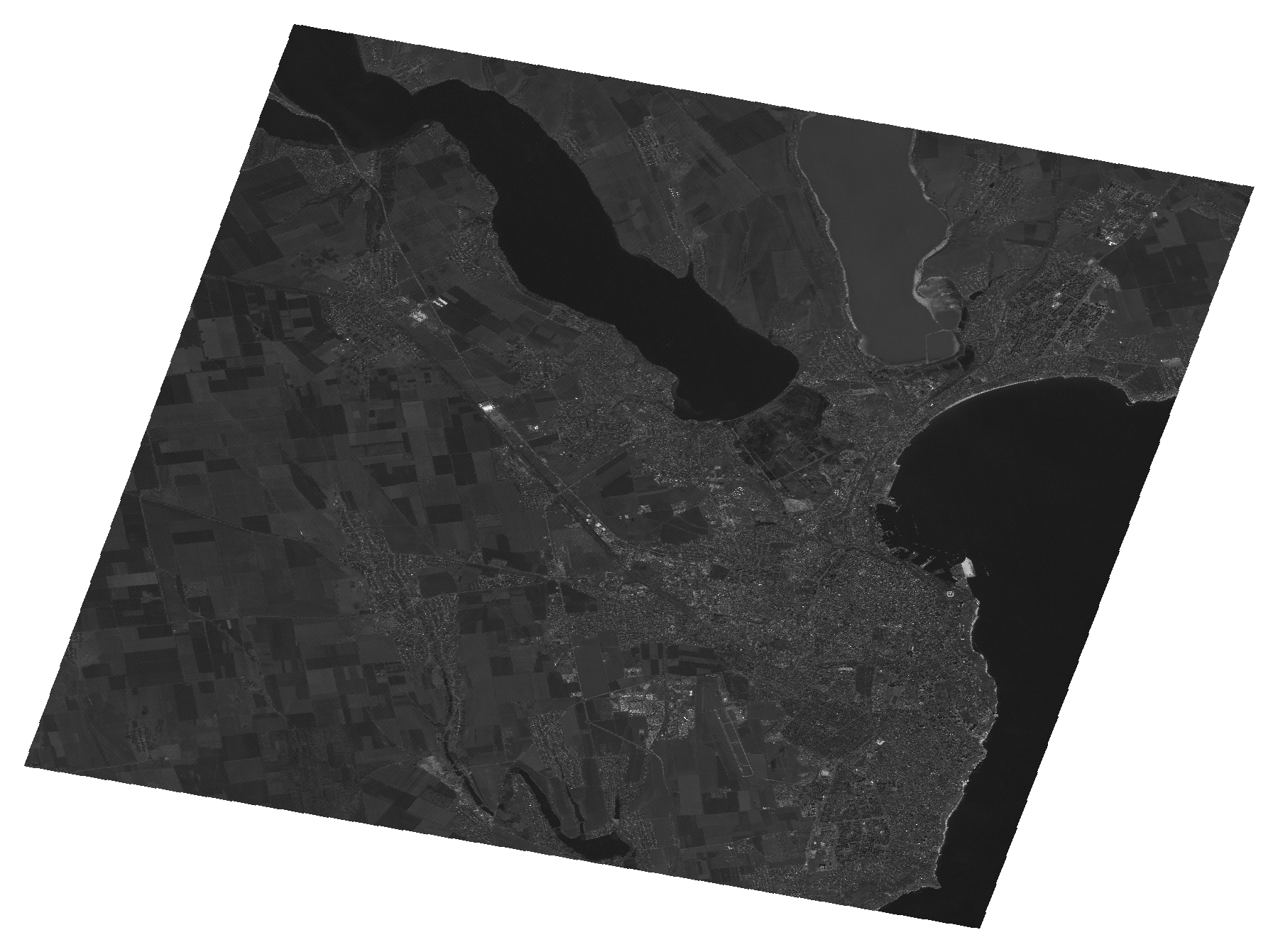
Start Date | 2014-03-13T08:59:55Z |
Stop Date | 2014-03-13T08:59:59Z |
Availability Time | 2014-03-13T08:59:59Z |
Platform Short Name | Cartosat |
Serial Identifier | 1 |
Instrument Short Name | PAN |
Operational Mode | PAM |
Resolution | 2.5 |
Orbit Number | 47929 |
Orbit Direction | DESCENDING |
Path | E030 |
Row | N46 |
Illumination Azimuth Angle | 158.48351620 |
Illumination Elevation Angle | 38.41704939 |
Footprint | 46.6930250 30.4150765 46.3520222 30.4150765 46.3520222 30.8727984 46.6930250 30.8727984 46.6930250 30.4150765 |
Scene Centre | 46.5227518171 30.64393745 |
Size | 90885585 |
Id | CA1_OPER_PAN_PAM_3O_20140313T085955_N46-522_E030-643_01 |
Acquisition Type | NOMINAL |
Product Type | PAN_PAM_3O |
Status | ARCHIVED |
Bounding Box | 46.693025 30.4150765 46.3520222 30.4150765 46.3520222 30.8727984 46.693025 30.8727984 |
Site | Odessa |