Static Map Catalogue - Full Metadata Record
Collection Cartosat
European Cities: Cartosat-1 Euro-Maps 3D. More details here.
CA1_OPER_PAN_PAM_3O_20110403T095508_N40-768_E014-538_01
Download Product | Browse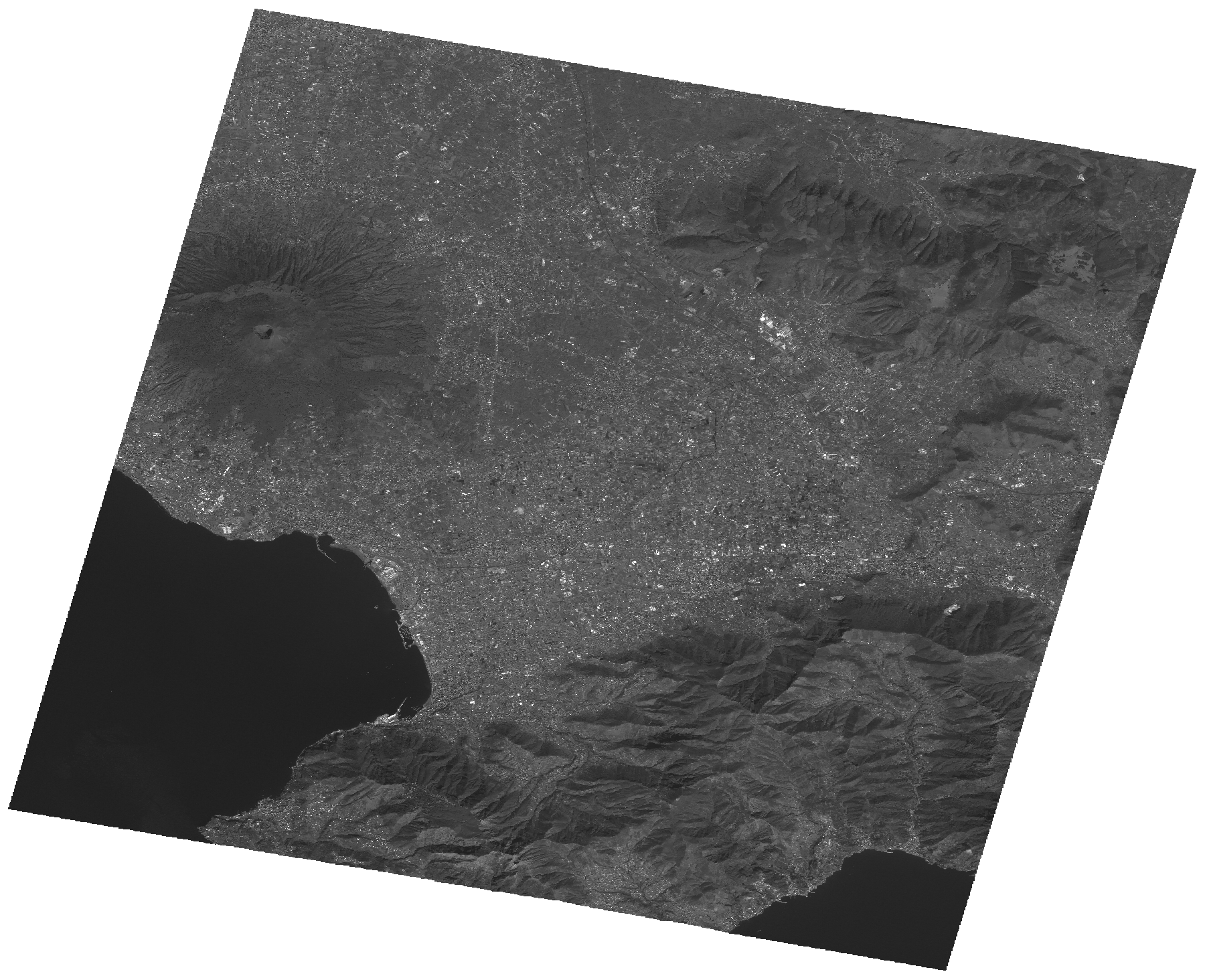
Start Date | 2011-04-03T09:55:08Z |
Stop Date | 2011-04-03T09:55:12Z |
Availability Time | 2011-04-03T09:55:12Z |
Platform Short Name | Cartosat |
Serial Identifier | 1 |
Instrument Short Name | PAN |
Operational Mode | PAM |
Resolution | 2.5 |
Orbit Number | 31995 |
Orbit Direction | DESCENDING |
Path | E014 |
Row | N40 |
Illumination Azimuth Angle | 151.48516232 |
Illumination Elevation Angle | 51.16405455 |
Footprint | 40.9320870 14.3378361 40.6051046 14.3378361 40.6051046 14.7398638 40.9320870 14.7398638 40.9320870 14.3378361 |
Scene Centre | 40.7687701876 14.53884995 |
Size | 108396860 |
Id | CA1_OPER_PAN_PAM_3O_20110403T095508_N40-768_E014-538_01 |
Acquisition Type | NOMINAL |
Product Type | PAN_PAM_3O |
Status | ARCHIVED |
Bounding Box | 40.932087 14.3378361 40.6051046 14.3378361 40.6051046 14.7398638 40.932087 14.7398638 |
Site | Napoli |