Static Map Catalogue - Full Metadata Record
Collection Cartosat
European Cities: Cartosat-1 Euro-Maps 3D. More details here.
CA1_OPER_PAN_PAM_3O_20090814T095302_N40-914_E014-135_01
Download Product | Browse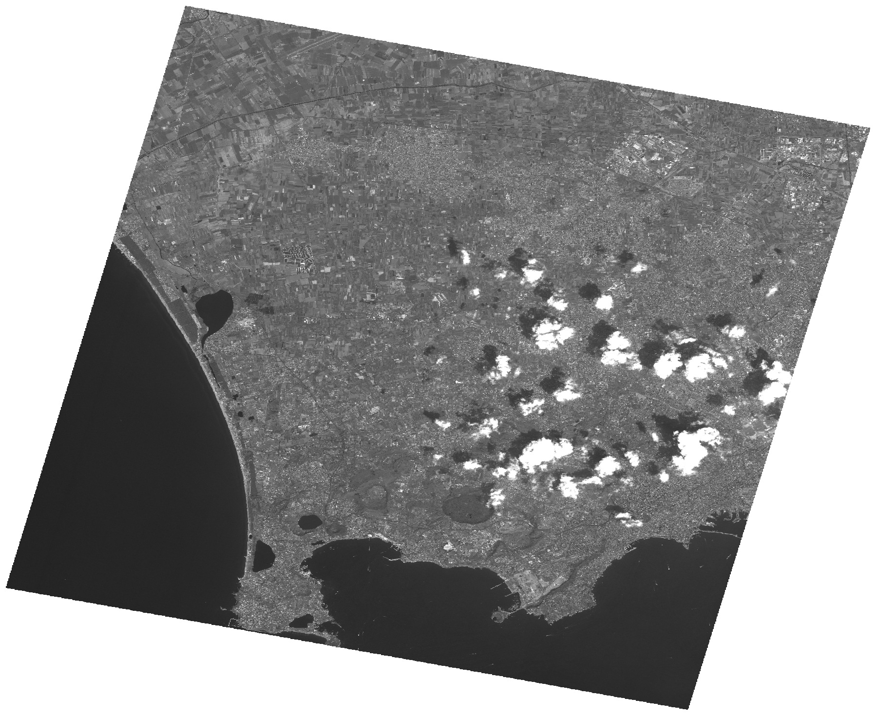
Start Date | 2009-08-14T09:53:02Z |
Stop Date | 2009-08-14T09:53:06Z |
Availability Time | 2009-08-14T09:53:06Z |
Platform Short Name | Cartosat |
Serial Identifier | 1 |
Instrument Short Name | PAN |
Operational Mode | PAM |
Resolution | 2.5 |
Orbit Number | 23149 |
Orbit Direction | DESCENDING |
Path | E014 |
Row | N40 |
Illumination Azimuth Angle | 143.12775429 |
Illumination Elevation Angle | 58.75756697 |
Footprint | 41.0785731 13.9341363 40.7498113 13.9341363 40.7498113 14.3364281 41.0785731 14.3364281 41.0785731 13.9341363 |
Scene Centre | 40.9143669466 14.1352822 |
Size | 113700147 |
Id | CA1_OPER_PAN_PAM_3O_20090814T095302_N40-914_E014-135_01 |
Acquisition Type | NOMINAL |
Product Type | PAN_PAM_3O |
Status | ARCHIVED |
Bounding Box | 41.0785731 13.9341363 40.7498113 13.9341363 40.7498113 14.3364281 41.0785731 14.3364281 |
Site | Napoli |