Static Map Catalogue - Full Metadata Record
Collection Cartosat
European Cities: Cartosat-1 Euro-Maps 3D. More details here.
CA1_OPER_PAN_PAM_3O_20090803T095222_N40-887_E014-317_01
Download Product | Browse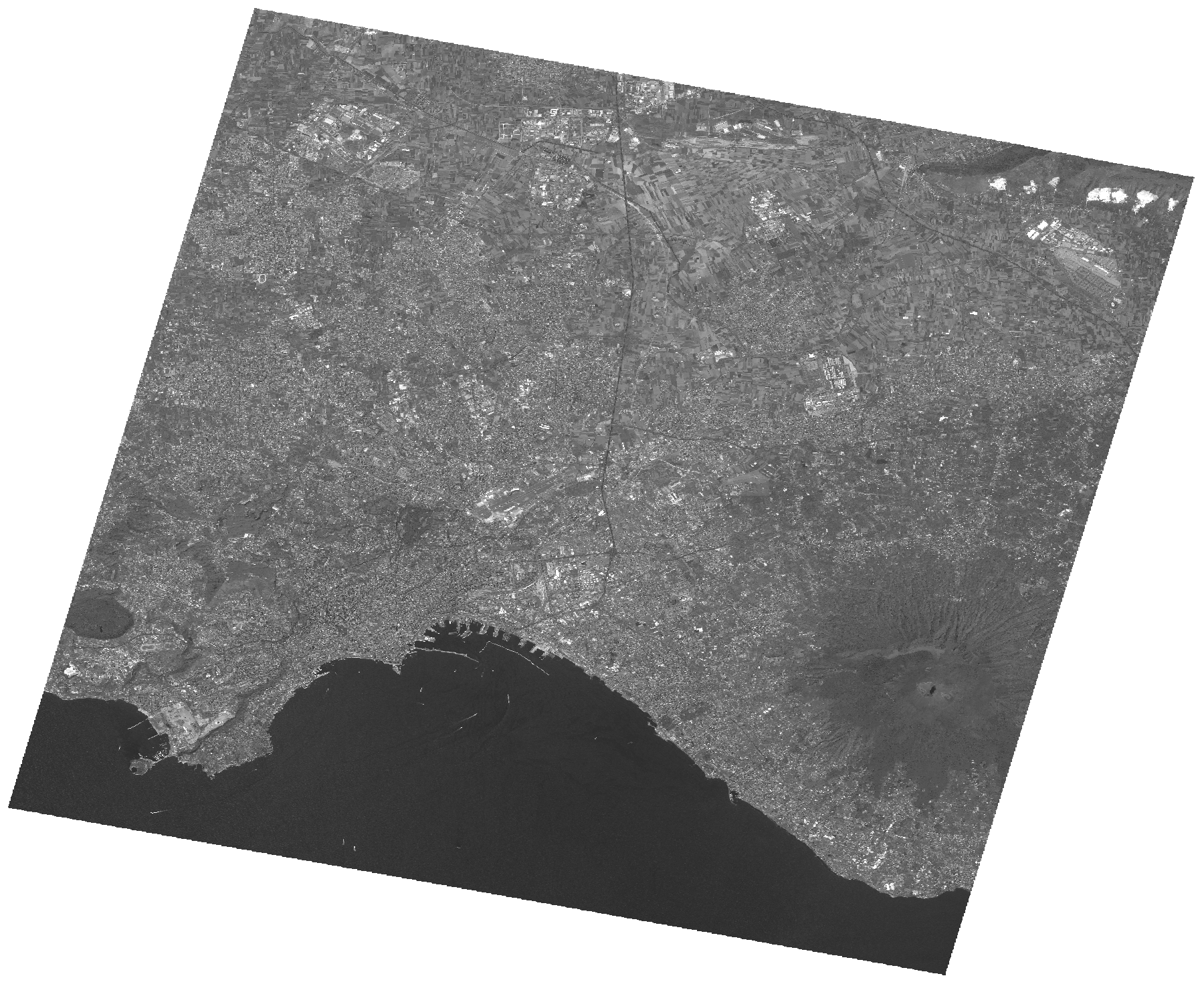
Start Date | 2009-08-03T09:52:22Z |
Stop Date | 2009-08-03T09:52:26Z |
Availability Time | 2009-08-03T09:52:26Z |
Platform Short Name | Cartosat |
Serial Identifier | 1 |
Instrument Short Name | PAN |
Operational Mode | PAM |
Resolution | 2.5 |
Orbit Number | 22986 |
Orbit Direction | DESCENDING |
Path | E014 |
Row | N40 |
Illumination Azimuth Angle | 139.36514649 |
Illumination Elevation Angle | 61.35232898 |
Footprint | 41.0517105 14.1162472 40.7227868 14.1162472 40.7227868 14.5184637 41.0517105 14.5184637 41.0517105 14.1162472 |
Scene Centre | 40.8874233075 14.31735545 |
Size | 123251034 |
Id | CA1_OPER_PAN_PAM_3O_20090803T095222_N40-887_E014-317_01 |
Acquisition Type | NOMINAL |
Product Type | PAN_PAM_3O |
Status | ARCHIVED |
Bounding Box | 41.0517105 14.1162472 40.7227868 14.1162472 40.7227868 14.5184637 41.0517105 14.5184637 |
Site | Napoli |