Static Map Catalogue - Full Metadata Record
Collection Cartosat
European Cities: Cartosat-1 Euro-Maps 3D. More details here.
CA1_OPER_DSM_DEM_3D_20110403T095508_N40-000_E014-000_4A
Download Product | Browse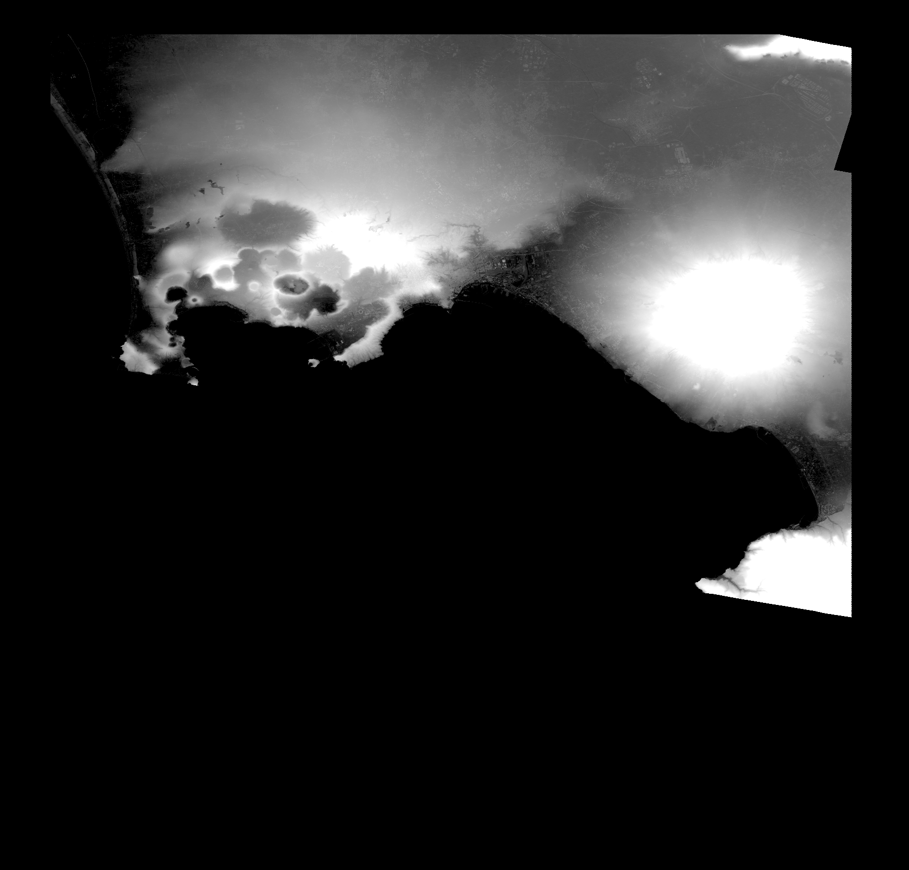
Start Date | 2011-04-03T09:55:08Z |
Stop Date | 2011-04-03T09:55:08Z |
Availability Time | 2011-04-03T09:55:08Z |
Platform Short Name | Cartosat |
Serial Identifier | 1 |
Instrument Short Name | DSM |
Operational Mode | DEFAULT |
Resolution | |
Orbit Number | 0 |
Orbit Direction | |
Path | |
Row | |
Illumination Azimuth Angle | |
Illumination Elevation Angle | |
Footprint | 40.995041758 14.5022890231 40.9949914772 14.502590708 40.9949411964 14.5029426738 40.9948909156 14.5031940779 40.9540126064 14.5033449204 40.9538114831 14.5032946396 40.9158997424 14.5019873382 40.9158494616 14.5024398656 40.9157991808 14.5027918313 40.9156986191 14.5031437971 40.6356344343 14.5033449204 40.635433311 14.5032946396 40.6618307432 14.3411892658 40.661881024 14.3408875809 40.6619313048 14.3405858959 40.6619815856 14.3404350535 40.7532412796 14.2501809759 40.7530401563 14.2501306951 40.7527887522 14.2500301335 40.7811471365 14.0901873968 40.7811974173 14.0897851502 40.7976392464 13.9977712439 40.7976895273 13.9974192781 40.7977900889 13.9968159082 41.0018296692 13.9966147849 41.0024833199 13.9966650657 41.002734724 13.9966147849 40.995041758 14.5022890231 |
Scene Centre | |
Size | 39145138 |
Id | CA1_OPER_DSM_DEM_3D_20110403T095508_N40-000_E014-000_4A |
Acquisition Type | NOMINAL |
Product Type | DSM_DEM_3D |
Status | ARCHIVED |
Bounding Box | 41.0251097 13.9646865 40.4748364 13.9646865 40.4748364 14.5395974 41.0251097 14.5395974 41.0251097 13.9646865 |
Site | Napoli |