Static Map Catalogue - Full Metadata Record
Collection Cartosat
European Cities: Cartosat-1 Euro-Maps 3D. More details here.
CA1_OPER_PAN_PAM_3O_20100926T090239_N50-479_E030-328_01
Download Product | Browse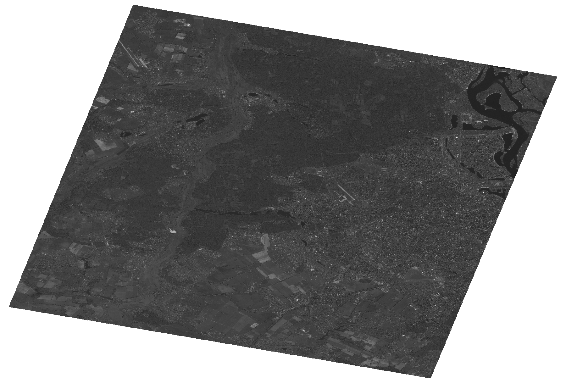
Start Date | 2010-09-26T09:02:39Z |
Stop Date | 2010-09-26T09:02:43Z |
Availability Time | 2010-09-26T09:02:43Z |
Platform Short Name | Cartosat |
Serial Identifier | 1 |
Instrument Short Name | PAN |
Operational Mode | PAM |
Resolution | 2.5 |
Orbit Number | 29194 |
Orbit Direction | DESCENDING |
Path | E030 |
Row | N50 |
Illumination Azimuth Angle | 165.07610840 |
Illumination Elevation Angle | 37.28867602 |
Footprint | 50.6471944 30.0808480 50.3113703 30.0808480 50.3113703 30.5771398 50.6471944 30.5771398 50.6471944 30.0808480 |
Scene Centre | 50.4795461289 30.3289939 |
Size | 104434203 |
Id | CA1_OPER_PAN_PAM_3O_20100926T090239_N50-479_E030-328_01 |
Acquisition Type | NOMINAL |
Product Type | PAN_PAM_3O |
Status | ARCHIVED |
Bounding Box | 50.6471944 30.080848 50.3113703 30.080848 50.3113703 30.5771398 50.6471944 30.5771398 |
Site | Kyiv |