Static Map Catalogue - Full Metadata Record
Collection Cartosat
European Cities: Cartosat-1 Euro-Maps 3D. More details here.
CA1_OPER_PAN_PAM_3O_20080405T085631_N50-338_E030-655_01
Download Product | Browse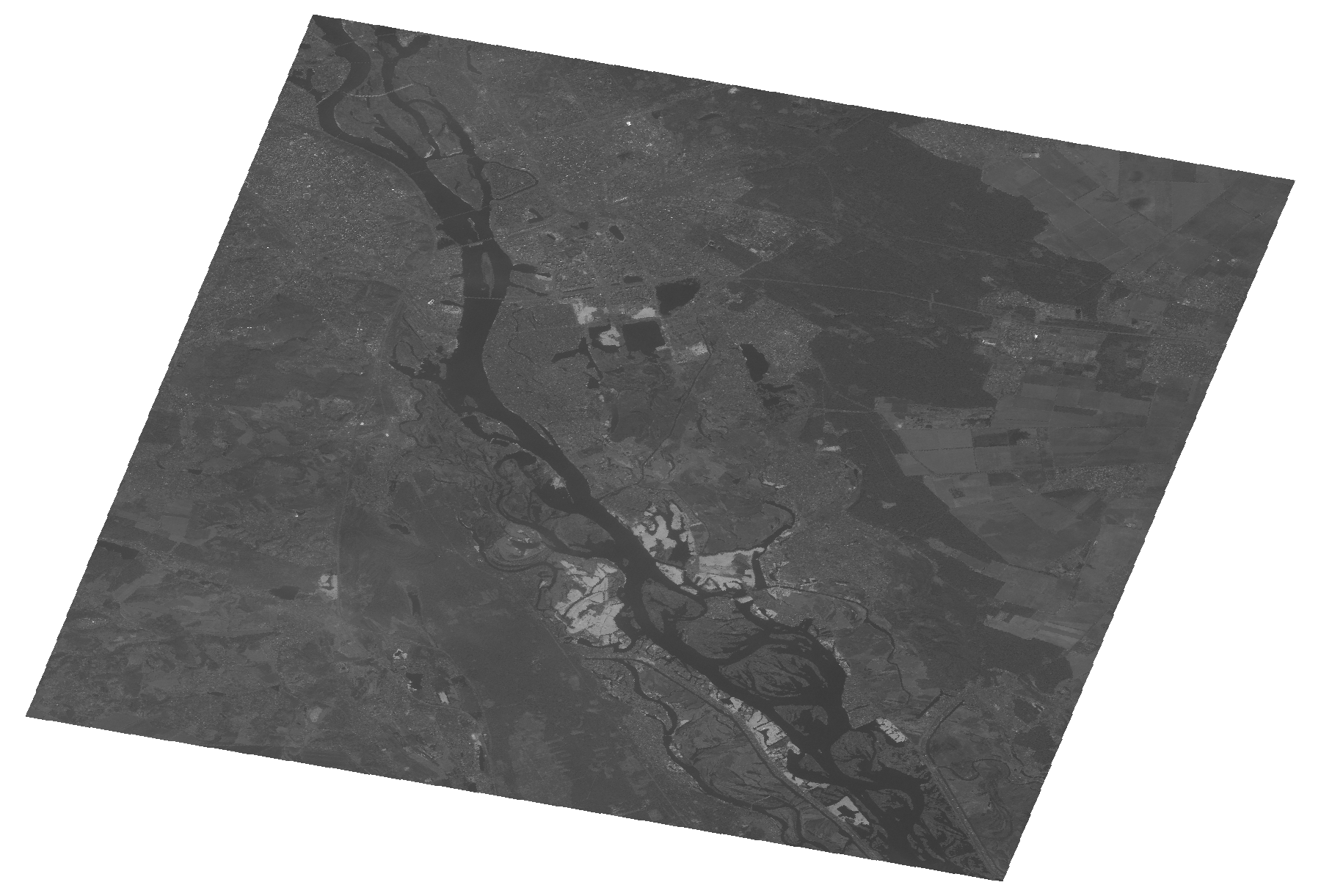
Start Date | 2008-04-05T08:56:31Z |
Stop Date | 2008-04-05T08:56:35Z |
Availability Time | 2008-04-05T08:56:35Z |
Platform Short Name | Cartosat |
Serial Identifier | 1 |
Instrument Short Name | PAN |
Operational Mode | PAM |
Resolution | 2.5 |
Orbit Number | 15799 |
Orbit Direction | DESCENDING |
Path | E030 |
Row | N50 |
Illumination Azimuth Angle | 157.84374971 |
Illumination Elevation Angle | 43.97865182 |
Footprint | 50.5074665 30.4061250 50.1693319 30.4061250 50.1693319 30.9046034 50.5074665 30.9046034 50.5074665 30.4061250 |
Scene Centre | 50.3386655586 30.6553642 |
Size | 88828317 |
Id | CA1_OPER_PAN_PAM_3O_20080405T085631_N50-338_E030-655_01 |
Acquisition Type | NOMINAL |
Product Type | PAN_PAM_3O |
Status | ARCHIVED |
Bounding Box | 50.5074665 30.406125 50.1693319 30.406125 50.1693319 30.9046034 50.5074665 30.9046034 |
Site | Kyiv |