Static Map Catalogue - Full Metadata Record
Collection Cartosat
European Cities: Cartosat-1 Euro-Maps 3D. More details here.
CA1_OPER_PAN_PAM_3O_20080405T085628_N50-480_E030-713_01
Download Product | Browse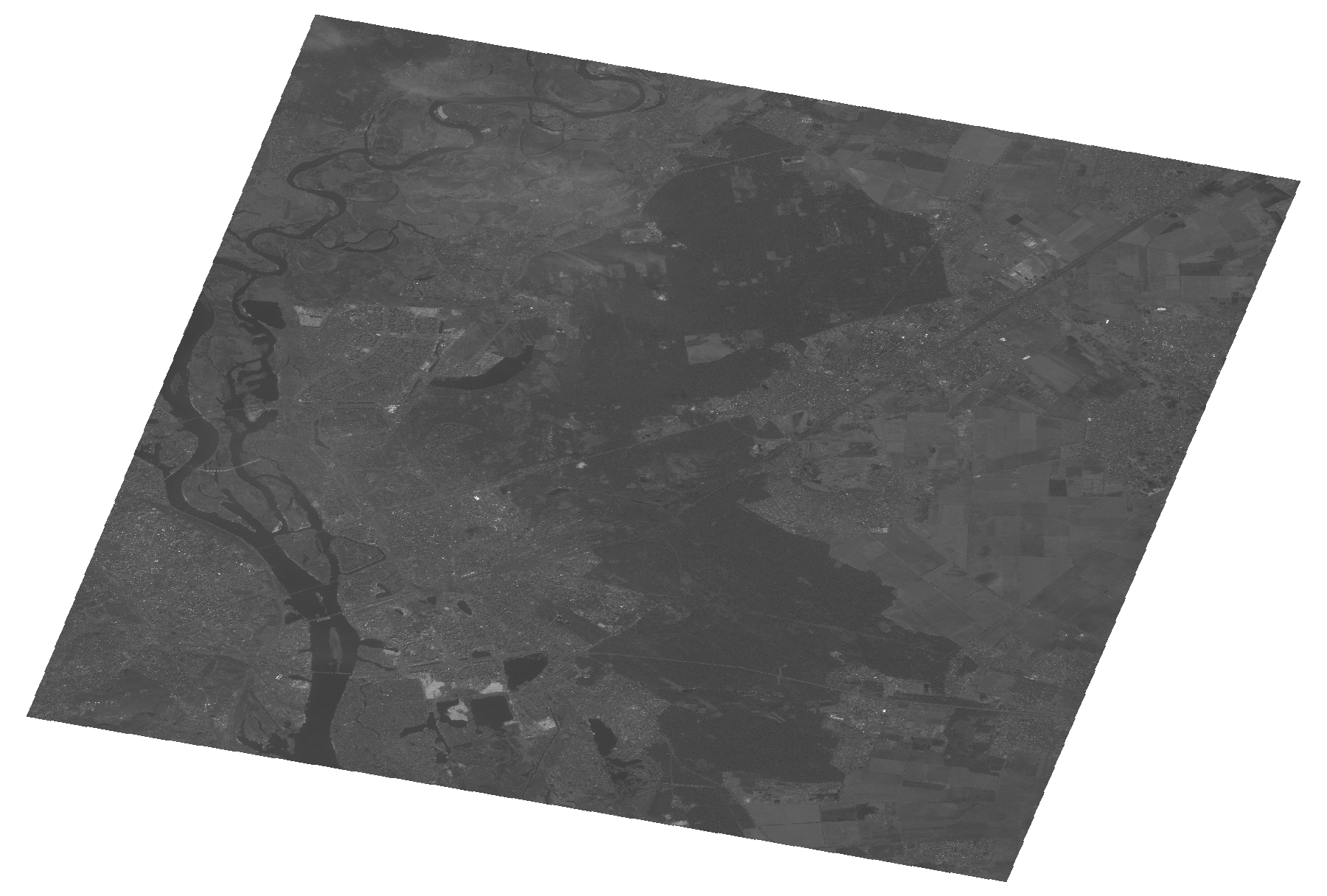
Start Date | 2008-04-05T08:56:28Z |
Stop Date | 2008-04-05T08:56:32Z |
Availability Time | 2008-04-05T08:56:32Z |
Platform Short Name | Cartosat |
Serial Identifier | 1 |
Instrument Short Name | PAN |
Operational Mode | PAM |
Resolution | 2.5 |
Orbit Number | 15799 |
Orbit Direction | DESCENDING |
Path | E030 |
Row | N50 |
Illumination Azimuth Angle | 157.96029623 |
Illumination Elevation Angle | 43.85935758 |
Footprint | 50.6488954 30.4635656 50.3107464 30.4635656 50.3107464 30.9641151 50.6488954 30.9641151 50.6488954 30.4635656 |
Scene Centre | 50.4800892233 30.71384035 |
Size | 88169298 |
Id | CA1_OPER_PAN_PAM_3O_20080405T085628_N50-480_E030-713_01 |
Acquisition Type | NOMINAL |
Product Type | PAN_PAM_3O |
Status | ARCHIVED |
Bounding Box | 50.6488954 30.4635656 50.3107464 30.4635656 50.3107464 30.9641151 50.6488954 30.9641151 |
Site | Kyiv |