Static Map Catalogue - Full Metadata Record
Collection Cartosat
European Cities: Cartosat-1 Euro-Maps 3D. More details here.
CA1_OPER_DSM_DEM_3D_20100926T090239_N50-000_E030-000_4D
Download Product | Browse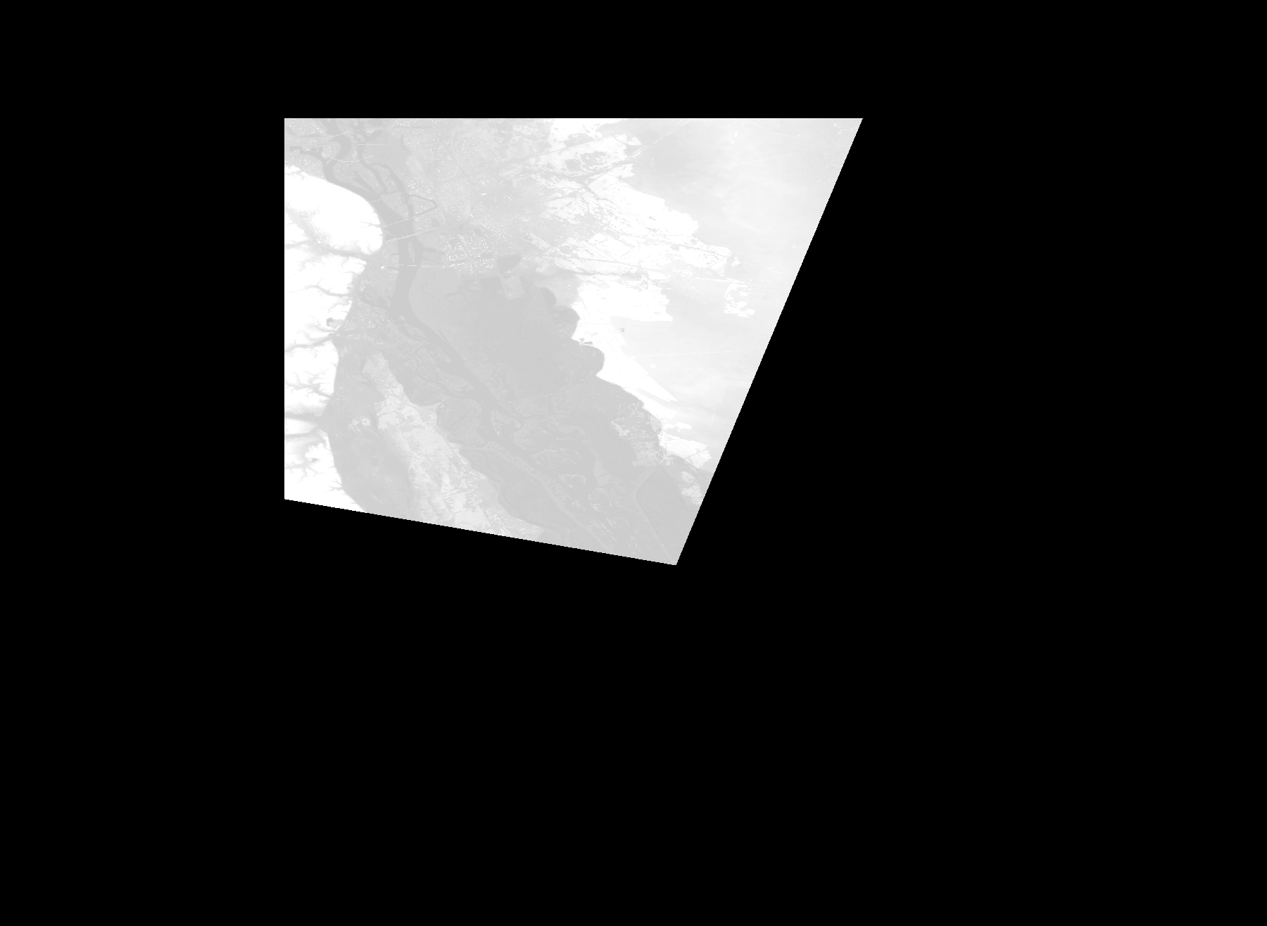
Start Date | 2010-09-26T09:02:39Z |
Stop Date | 2010-09-26T09:02:39Z |
Availability Time | 2010-09-26T09:02:39Z |
Platform Short Name | Cartosat |
Serial Identifier | 1 |
Instrument Short Name | DSM |
Operational Mode | DEFAULT |
Resolution | |
Orbit Number | 0 |
Orbit Direction | |
Path | |
Row | |
Illumination Azimuth Angle | |
Illumination Elevation Angle | |
Footprint | 50.5033532864 30.9199136704 50.5033532864 30.9199136704 50.5034024358 30.9199628199 50.1848649245 30.7888321178 50.1753790829 30.7849001627 50.1747892896 30.784703565 50.2227099922 30.5000791663 50.2232014866 30.4971302 50.498831538 30.4966387056 50.5020262515 30.4965895561 50.5033532864 30.9199136704 |
Scene Centre | |
Size | 48139454 |
Id | CA1_OPER_DSM_DEM_3D_20100926T090239_N50-000_E030-000_4D |
Acquisition Type | NOMINAL |
Product Type | DSM_DEM_3D |
Status | ARCHIVED |
Bounding Box | 50.5900529 30.2878519 49.9093823 30.2878519 49.9093823 31.2187423 50.5900529 31.2187423 50.5900529 30.2878519 |
Site | Kyiv |