Static Map Catalogue - Full Metadata Record
Collection Cartosat
European Cities: Cartosat-1 Euro-Maps 3D. More details here.
CA1_OPER_DSM_DEM_3D_20100926T090239_N50-000_E030-000_4A
Download Product | Browse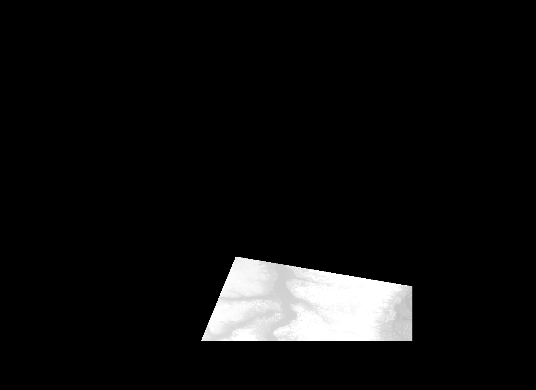
Start Date | 2010-09-26T09:02:39Z |
Stop Date | 2010-09-26T09:02:39Z |
Availability Time | 2010-09-26T09:02:39Z |
Platform Short Name | Cartosat |
Serial Identifier | 1 |
Instrument Short Name | DSM |
Operational Mode | DEFAULT |
Resolution | |
Orbit Number | 0 |
Orbit Direction | |
Path | |
Row | |
Illumination Azimuth Angle | |
Illumination Elevation Angle | |
Footprint | 50.5917000444 30.5024493432 50.5917000444 30.5024493432 50.5916507311 30.5027452227 50.5916014179 30.502991789 50.5018019838 30.5033369817 50.4974131043 30.5032383552 50.4970679115 30.5033369817 50.496772032 30.5032383552 50.6422954422 30.1971016794 50.6423447554 30.1971509926 50.6427885747 30.1972496191 50.6429365145 30.1972989324 50.643035141 30.1973482456 50.5917000444 30.5024493432 |
Scene Centre | |
Size | 47440424 |
Id | CA1_OPER_DSM_DEM_3D_20100926T090239_N50-000_E030-000_4A |
Acquisition Type | NOMINAL |
Product Type | DSM_DEM_3D |
Status | ARCHIVED |
Bounding Box | 51.0873969 29.7893304 50.4120519 29.7893304 50.4120519 30.7173072 51.0873969 30.7173072 51.0873969 29.7893304 |
Site | Kyiv |