Static Map Catalogue - Full Metadata Record
Collection Cartosat
European Cities: Cartosat-1 Euro-Maps 3D. More details here.
CA1_OPER_PAN_PAM_3O_20100613T084525_N47-933_E033-382_01
Download Product | Browse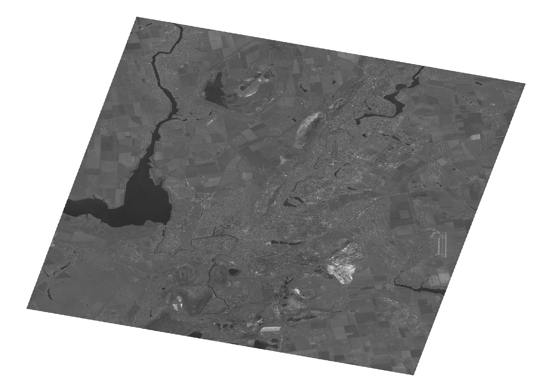
Start Date | 2010-06-13T08:45:25Z |
Stop Date | 2010-06-13T08:45:30Z |
Availability Time | 2010-06-13T08:45:30Z |
Platform Short Name | Cartosat |
Serial Identifier | 1 |
Instrument Short Name | PAN |
Operational Mode | PAM |
Resolution | 2.5 |
Orbit Number | 27638 |
Orbit Direction | DESCENDING |
Path | E033 |
Row | N47 |
Illumination Azimuth Angle | 148.51613369 |
Illumination Elevation Angle | 62.46550537 |
Footprint | 48.1111962 33.1321241 47.7546849 33.1321241 47.7546849 33.6338601 48.1111962 33.6338601 48.1111962 33.1321241 |
Scene Centre | 47.9332137175 33.3829921 |
Size | 102871537 |
Id | CA1_OPER_PAN_PAM_3O_20100613T084525_N47-933_E033-382_01 |
Acquisition Type | NOMINAL |
Product Type | PAN_PAM_3O |
Status | ARCHIVED |
Bounding Box | 48.1111962 33.1321241 47.7546849 33.1321241 47.7546849 33.6338601 48.1111962 33.6338601 |
Site | Kryviyj-Rih |