Static Map Catalogue - Full Metadata Record
Collection Cartosat
European Cities: Cartosat-1 Euro-Maps 3D. More details here.
CA1_OPER_PAN_PAM_3O_20100613T084523_N48-075_E033-437_01
Download Product | Browse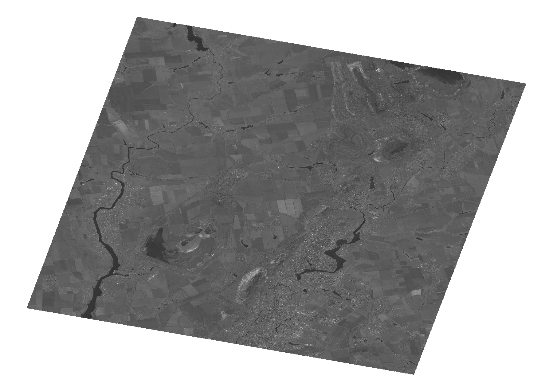
Start Date | 2010-06-13T08:45:23Z |
Stop Date | 2010-06-13T08:45:27Z |
Availability Time | 2010-06-13T08:45:27Z |
Platform Short Name | Cartosat |
Serial Identifier | 1 |
Instrument Short Name | PAN |
Operational Mode | PAM |
Resolution | 2.5 |
Orbit Number | 27638 |
Orbit Direction | DESCENDING |
Path | E033 |
Row | N48 |
Illumination Azimuth Angle | 148.73864386 |
Illumination Elevation Angle | 62.35996631 |
Footprint | 48.2530682 33.1851680 47.8966925 33.1851680 47.8966925 33.6890770 48.2530682 33.6890770 48.2530682 33.1851680 |
Scene Centre | 48.0751557452 33.4371225 |
Size | 96452389 |
Id | CA1_OPER_PAN_PAM_3O_20100613T084523_N48-075_E033-437_01 |
Acquisition Type | NOMINAL |
Product Type | PAN_PAM_3O |
Status | ARCHIVED |
Bounding Box | 48.2530682 33.185168 47.8966925 33.185168 47.8966925 33.689077 48.2530682 33.689077 |
Site | Kryviyj-Rih |