Static Map Catalogue - Full Metadata Record
Collection Cartosat
European Cities: Cartosat-1 Euro-Maps 3D. More details here.
CA1_OPER_DSM_DEM_3D_20100613T084525_N48-000_E033-000_4C
Download Product | Browse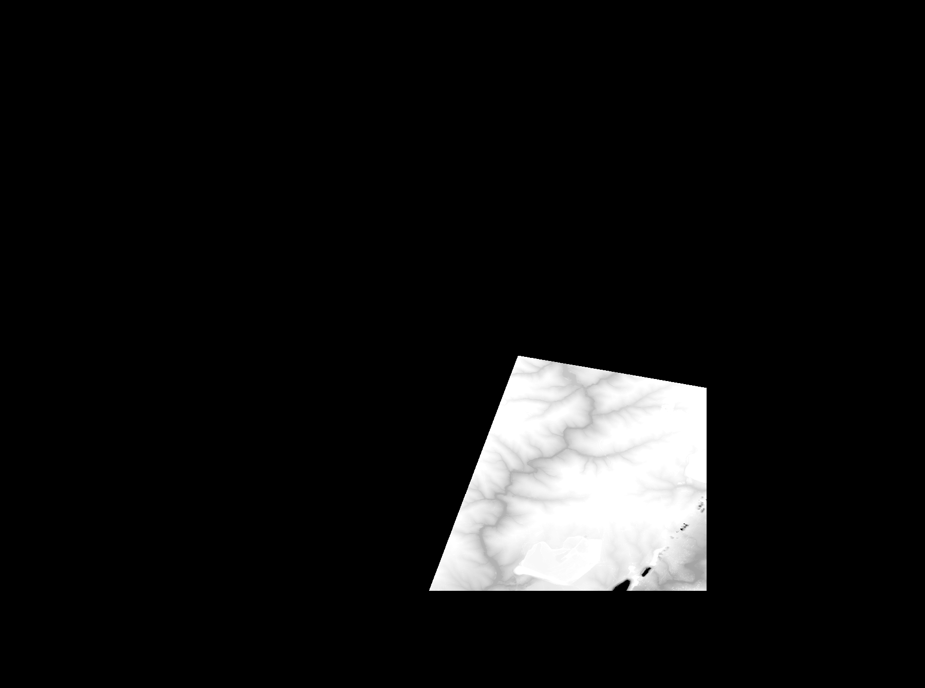
Start Date | 2010-06-13T08:45:25Z |
Stop Date | 2010-06-13T08:45:25Z |
Availability Time | 2010-06-13T08:45:25Z |
Platform Short Name | Cartosat |
Serial Identifier | 1 |
Instrument Short Name | DSM |
Operational Mode | DEFAULT |
Resolution | |
Orbit Number | 0 |
Orbit Direction | |
Path | |
Row | |
Illumination Azimuth Angle | |
Illumination Elevation Angle | |
Footprint | 48.204959442 33.5027045446 48.204959442 33.5027045446 48.2049109794 33.5029468578 48.176463416 33.5032376335 47.9969578372 33.5032860962 47.9967155241 33.2189073877 48.0933015442 33.2550120465 48.2374778662 33.3097748176 48.2375263288 33.3098232802 48.2376232541 33.3097748176 48.237768642 33.3098232802 48.2378655672 33.3098717428 48.204959442 33.5027045446 |
Scene Centre | |
Size | 45769115 |
Id | CA1_OPER_DSM_DEM_3D_20100613T084525_N48-000_E033-000_4C |
Acquisition Type | NOMINAL |
Product Type | DSM_DEM_3D |
Status | ARCHIVED |
Bounding Box | 48.6026438 32.7783821 47.8968340 32.7783821 47.8968340 33.7275711 48.6026438 33.7275711 48.6026438 32.7783821 |
Site | Kryviyj-Rih |