Static Map Catalogue - Full Metadata Record
Collection Cartosat
European Cities: Cartosat-1 Euro-Maps 3D. More details here.
CA1_OPER_DSM_DEM_3D_20100613T084525_N47-000_E033-000_4A
Download Product | Browse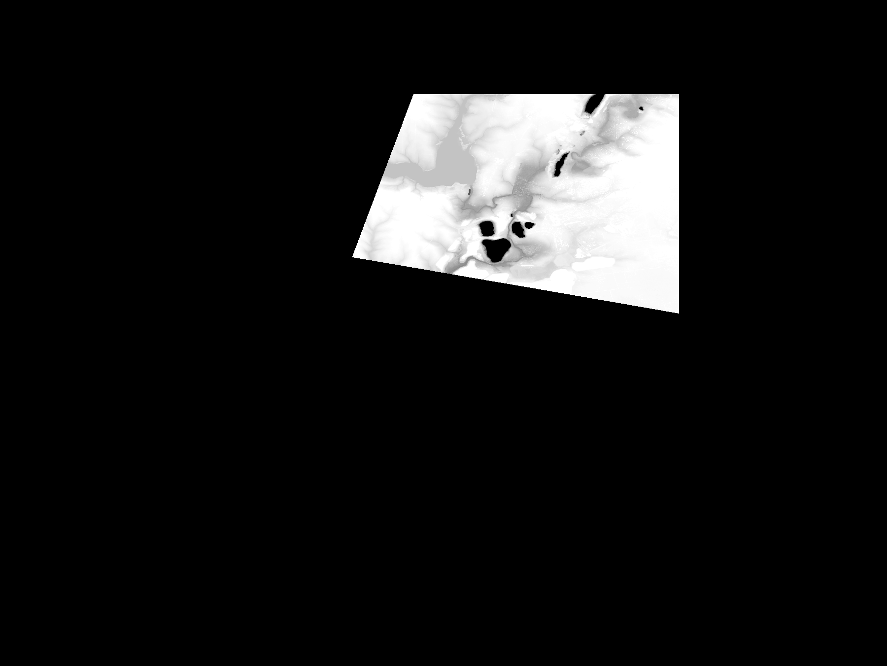
Start Date | 2010-06-13T08:45:25Z |
Stop Date | 2010-06-13T08:45:25Z |
Availability Time | 2010-06-13T08:45:25Z |
Platform Short Name | Cartosat |
Serial Identifier | 1 |
Instrument Short Name | DSM |
Operational Mode | DEFAULT |
Resolution | |
Orbit Number | 0 |
Orbit Direction | |
Path | |
Row | |
Illumination Azimuth Angle | |
Illumination Elevation Angle | |
Footprint | 48.003447385 33.5029971143 47.8193282917 33.5033361026 47.8190377303 33.5032392488 47.8301274916 33.1567447427 47.8301759185 33.1565026082 47.8302243454 33.1562604737 47.8302727723 33.1560667661 48.0027209814 33.2208135382 48.0028662621 33.2208619651 48.0031083967 33.220910392 48.0032052505 33.2209588189 48.003447385 33.5029971143 |
Scene Centre | |
Size | 52025763 |
Id | CA1_OPER_DSM_DEM_3D_20100613T084525_N47-000_E033-000_4A |
Acquisition Type | NOMINAL |
Product Type | DSM_DEM_3D |
Status | ARCHIVED |
Bounding Box | 48.1034974 32.7816299 47.3959803 32.7816299 47.3959803 33.7243081 48.1034974 33.7243081 48.1034974 32.7816299 |
Site | Kryviyj-Rih |