Static Map Catalogue - Full Metadata Record
Collection Cartosat
European Cities: Cartosat-1 Euro-Maps 3D. More details here.
CA1_OPER_PAN_PAM_3O_20130804T094057_N48-687_E021-274_01
Download Product | Browse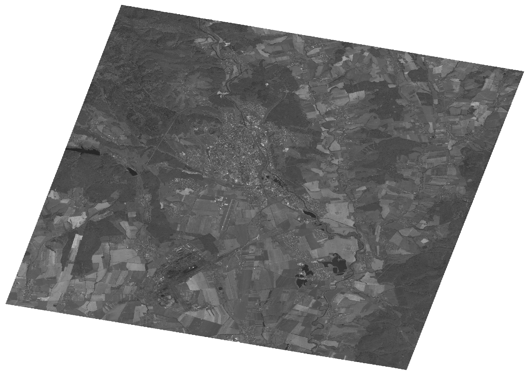
Start Date | 2013-08-04T09:40:57Z |
Stop Date | 2013-08-04T09:41:01Z |
Availability Time | 2013-08-04T09:41:01Z |
Platform Short Name | Cartosat |
Serial Identifier | 1 |
Instrument Short Name | PAN |
Operational Mode | PAM |
Resolution | 2.5 |
Orbit Number | 44653 |
Orbit Direction | DESCENDING |
Path | E021 |
Row | N48 |
Illumination Azimuth Angle | 153.65519412 |
Illumination Elevation Angle | 56.18960269 |
Footprint | 48.8536621 21.0394534 48.5207577 21.0394534 48.5207577 21.5105446 48.8536621 21.5105446 48.8536621 21.0394534 |
Scene Centre | 48.6874499829 21.274999 |
Size | 109260155 |
Id | CA1_OPER_PAN_PAM_3O_20130804T094057_N48-687_E021-274_01 |
Acquisition Type | NOMINAL |
Product Type | PAN_PAM_3O |
Status | ARCHIVED |
Bounding Box | 48.8536621 21.0394534 48.5207577 21.0394534 48.5207577 21.5105446 48.8536621 21.5105446 |
Site | Kosice |