Static Map Catalogue - Full Metadata Record
Collection Cartosat
European Cities: Cartosat-1 Euro-Maps 3D. More details here.
CA1_OPER_PAN_PAM_3O_20140716T083957_N49-948_E036-219_01
Download Product | Browse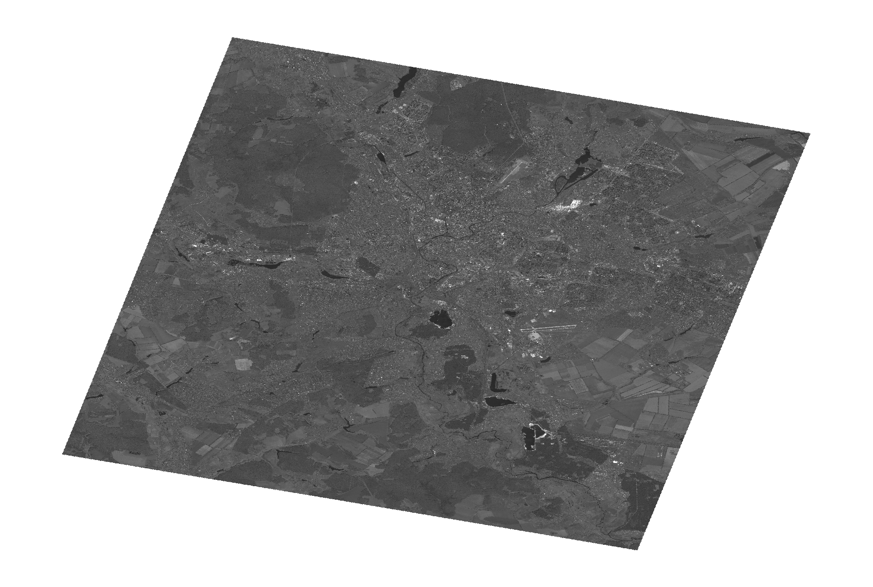
Start Date | 2014-07-16T08:39:57Z |
Stop Date | 2014-07-16T08:40:01Z |
Availability Time | 2014-07-16T08:40:01Z |
Platform Short Name | Cartosat |
Serial Identifier | 1 |
Instrument Short Name | PAN |
Operational Mode | PAM |
Resolution | 2.5 |
Orbit Number | 49782 |
Orbit Direction | DESCENDING |
Path | E036 |
Row | N49 |
Illumination Azimuth Angle | 151.57490236 |
Illumination Elevation Angle | 58.96356416 |
Footprint | 50.1348041 35.9428404 49.7620885 35.9428404 49.7620885 36.4968355 50.1348041 36.4968355 50.1348041 35.9428404 |
Scene Centre | 49.9487761064 36.21983795 |
Size | 112647480 |
Id | CA1_OPER_PAN_PAM_3O_20140716T083957_N49-948_E036-219_01 |
Acquisition Type | NOMINAL |
Product Type | PAN_PAM_3O |
Status | ARCHIVED |
Bounding Box | 50.1348041 35.9428404 49.7620885 35.9428404 49.7620885 36.4968355 50.1348041 36.4968355 |
Site | Kharkiv |