Static Map Catalogue - Full Metadata Record
Collection Cartosat
European Cities: Cartosat-1 Euro-Maps 3D. More details here.
CA1_OPER_DSM_DEM_3D_20120520T093510_N54-000_E024-000_4A
Download Product | Browse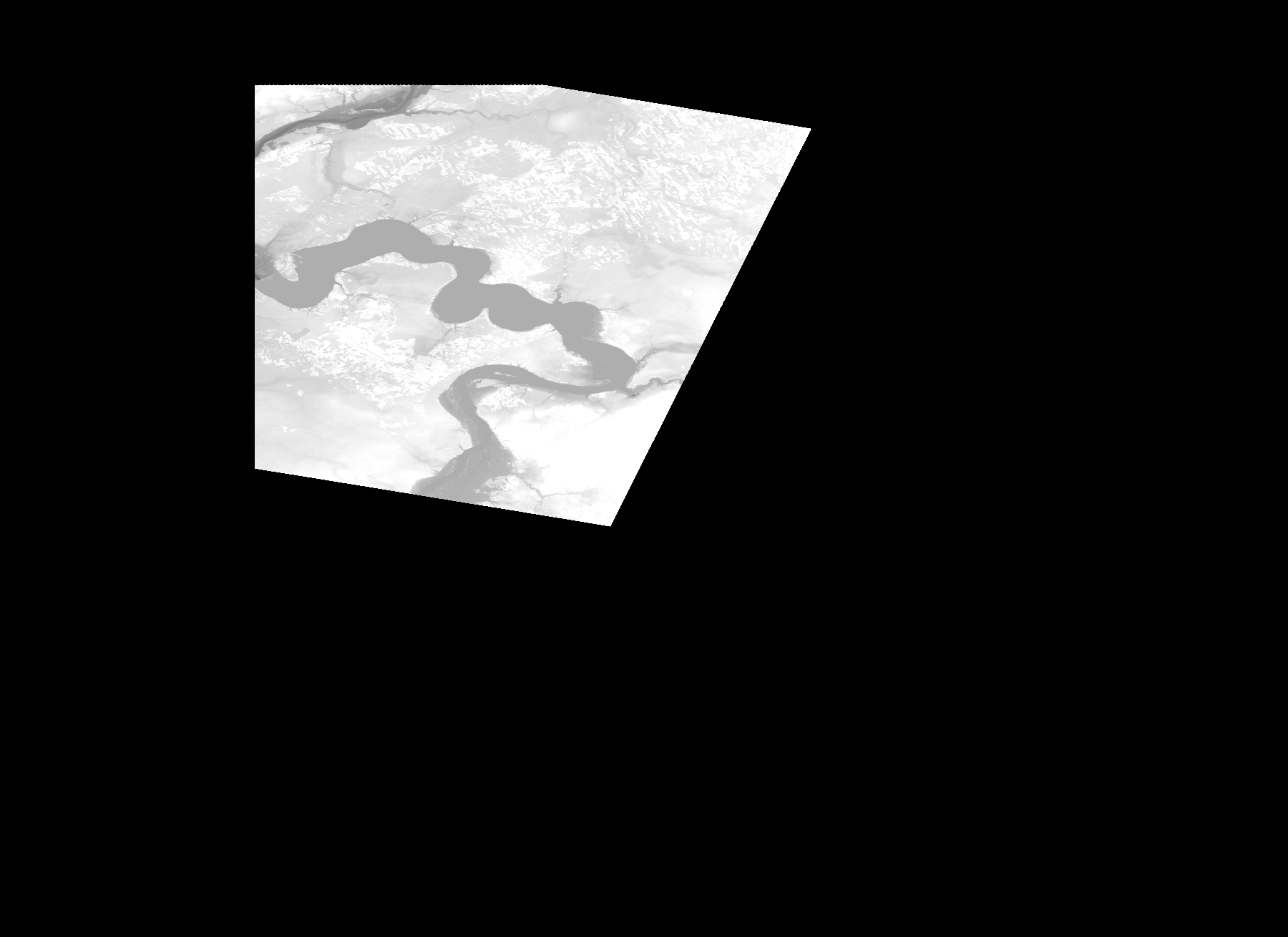
Start Date | 2012-05-20T09:35:10Z |
Stop Date | 2012-05-20T09:35:10Z |
Availability Time | 2012-05-20T09:35:10Z |
Platform Short Name | Cartosat |
Serial Identifier | 1 |
Instrument Short Name | DSM |
Operational Mode | DEFAULT |
Resolution | |
Orbit Number | 0 |
Orbit Direction | |
Path | |
Row | |
Illumination Azimuth Angle | |
Illumination Elevation Angle | |
Footprint | 54.9746456387 24.3635990001 54.974594229 24.3640102775 54.9745428194 24.3643701452 54.9744914097 24.3644729645 54.97444 24.3645757839 54.9743885904 24.3645243742 54.7118393935 24.2318874194 54.7116851644 24.2317846001 54.7495226833 23.9978705907 54.749574093 23.9974079036 54.9834366927 23.9966367585 54.9834881024 23.9966881682 55.0032294166 23.9966367585 55.0033322359 23.9966881682 54.9746456387 24.3635990001 |
Scene Centre | |
Size | 42746040 |
Id | CA1_OPER_DSM_DEM_3D_20120520T093510_N54-000_E024-000_4A |
Acquisition Type | NOMINAL |
Product Type | DSM_DEM_3D |
Status | ARCHIVED |
Bounding Box | 55.0594716 23.8280130 54.4400879 23.8280130 54.4400879 24.6797171 55.0594716 24.6797171 55.0594716 23.8280130 |
Site | Kaunas |