Static Map Catalogue - Full Metadata Record
Collection Cartosat
European Cities: Cartosat-1 Euro-Maps 3D. More details here.
CA1_OPER_PAN_PAM_3O_20100528T085446_N41-021_E029-067_01
Download Product | Browse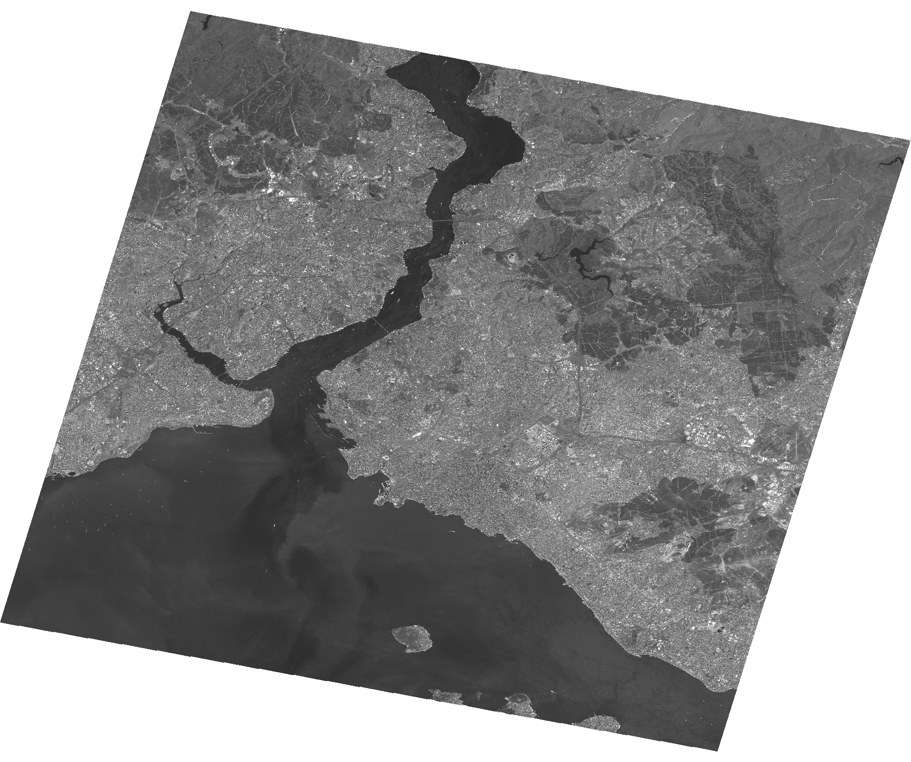
Start Date | 2010-05-28T08:54:46Z |
Stop Date | 2010-05-28T08:54:50Z |
Availability Time | 2010-05-28T08:54:50Z |
Platform Short Name | Cartosat |
Serial Identifier | 1 |
Instrument Short Name | PAN |
Operational Mode | PAM |
Resolution | 2.5 |
Orbit Number | 27401 |
Orbit Direction | DESCENDING |
Path | E029 |
Row | N41 |
Illumination Azimuth Angle | 139.47857522 |
Illumination Elevation Angle | 65.97188363 |
Footprint | 41.1877405 28.8680866 40.8547342 28.8680866 40.8547342 29.2661021 41.1877405 29.2661021 41.1877405 28.8680866 |
Scene Centre | 41.0214084919 29.06709435 |
Size | 118047295 |
Id | CA1_OPER_PAN_PAM_3O_20100528T085446_N41-021_E029-067_01 |
Acquisition Type | NOMINAL |
Product Type | PAN_PAM_3O |
Status | ARCHIVED |
Bounding Box | 41.1877405 28.8680866 40.8547342 28.8680866 40.8547342 29.2661021 41.1877405 29.2661021 |
Site | Istanbul |