Static Map Catalogue - Full Metadata Record
Collection Cartosat
European Cities: Cartosat-1 Euro-Maps 3D. More details here.
CA1_OPER_PAN_PAM_3O_20090120T085524_N41-073_E028-862_01
Download Product | Browse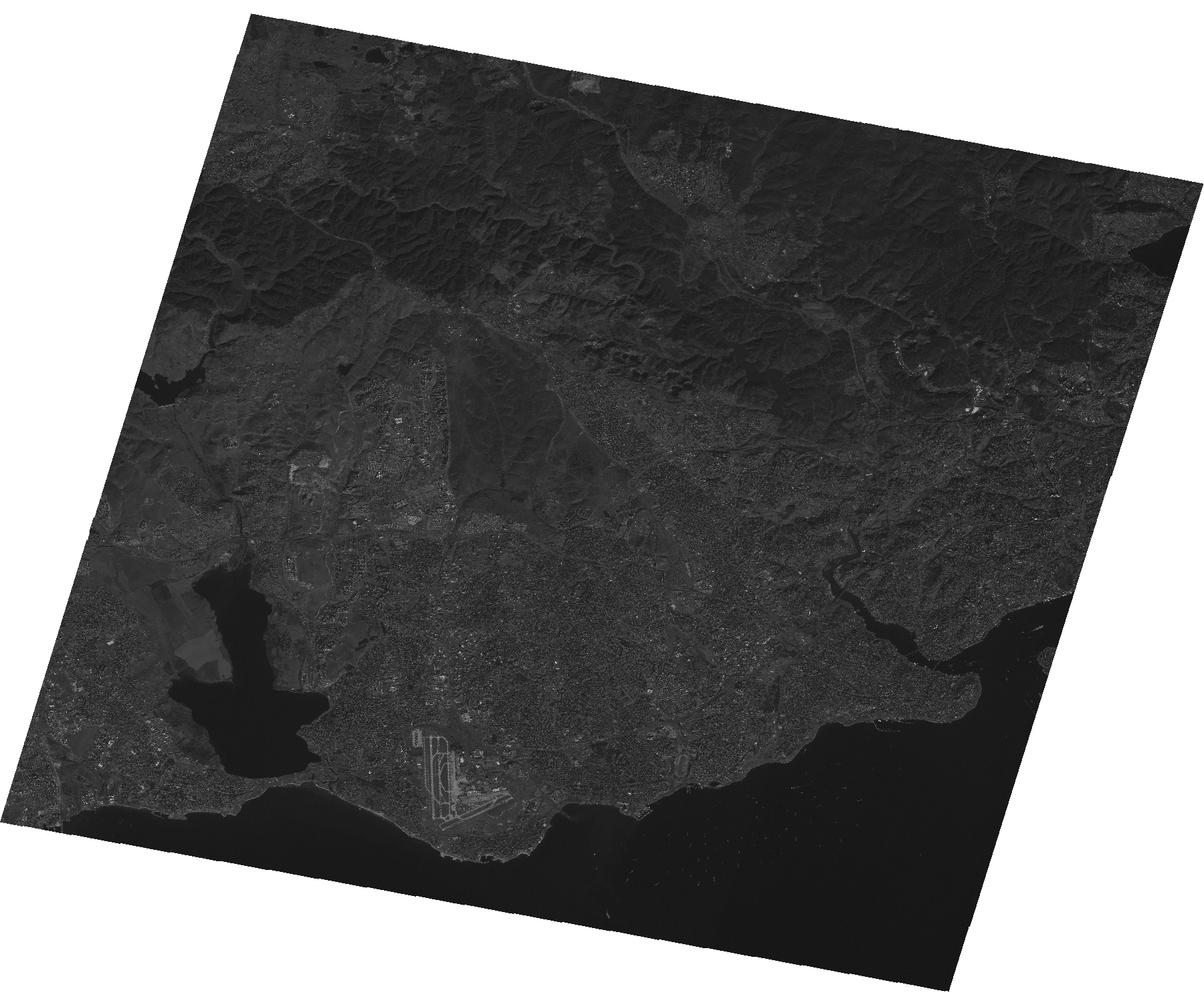
Start Date | 2009-01-20T08:55:24Z |
Stop Date | 2009-01-20T08:55:28Z |
Availability Time | 2009-01-20T08:55:28Z |
Platform Short Name | Cartosat |
Serial Identifier | 1 |
Instrument Short Name | PAN |
Operational Mode | PAM |
Resolution | 2.5 |
Orbit Number | 20096 |
Orbit Direction | DESCENDING |
Path | E028 |
Row | N41 |
Illumination Azimuth Angle | 159.02305642 |
Illumination Elevation Angle | 26.10249606 |
Footprint | 41.2398638 28.6637656 40.9077683 28.6637656 40.9077683 29.0614848 41.2398638 29.0614848 41.2398638 28.6637656 |
Scene Centre | 41.0739869807 28.8626252 |
Size | 97581414 |
Id | CA1_OPER_PAN_PAM_3O_20090120T085524_N41-073_E028-862_01 |
Acquisition Type | NOMINAL |
Product Type | PAN_PAM_3O |
Status | ARCHIVED |
Bounding Box | 41.2398638 28.6637656 40.9077683 28.6637656 40.9077683 29.0614848 41.2398638 29.0614848 |
Site | Istanbul |